
What is recorded here
Barrow is a submerged pond barrow hidden beneath Oileán na crú, where water filled the ancient chamber instead of leaving it open for the sky. The ridge holds ringforts nearby, suggesting people lived around the drowned place rather than forgetting it. Perhaps the pond is not an accident but a transformation, the barrow completing its shape by taking water into its center.
In reclaimed pasture close to the summit of a ridge (OD 680ft.) known locally as ‘Oileán na crú’. Ringforts (LI033-021/023----) 15m to N and 70m to NE respectively. Monument depicted on OSi 25-inch map as a sub-circular-shaped area enclosed by a bank, intersected at SW by a trackway running NW-SE. Poorly preserved monument surveyed by the ASI in 2007 and described as an oval-shaped depression (dims. 6m NNE-SSW; 8m ESE-WNW) with traces of a possible bank from NNE-E. Described in 1960 as a; ‘Platform 30 feet (9m) in diameter; has 5 foot (1.5m) wide bank. A ditch 5 foot (1.5m) wide outside bank, and outside this ditch another 5 foot (1.5m) bank. Both banks and ditch have a 6 foot (1.6m) gap on the east side where there is a well marked entrance running onto a platform (O’Dwyer 1960, 115; Knockroe 53). Outline of circular-shaped depression enclosed by a bank visible on Google Earth orthoimage dated 18/11/2018.
See attached Google Earth orthoimages
Compiled by: Martin Fitzpatrick
Date of upload: 3 April 2021
See attached ASI aerial photograph ASIAP - 133/03, 04 taken 23/08/2000 and 353/7 taken 05/01/2003.
The monument record does not grant public access. Check the route and ask the landowner before entering private land.
- What survives
- Recorded monument
Places near here
 Enclosure in Knockroe (coonagh By.)Enclosure · 300 yd
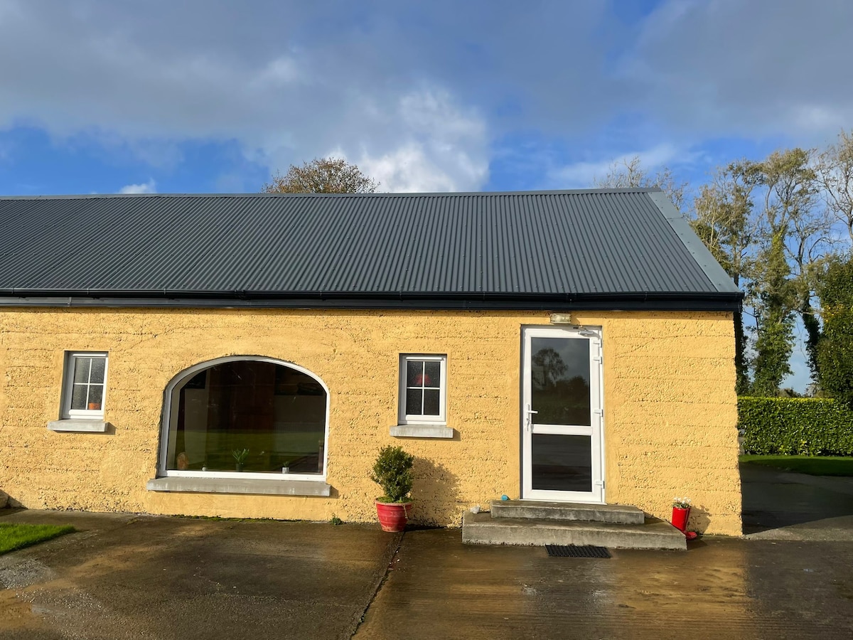 Hut site in KilteelyHut site · 1322 yd
 Carrickittle RockCastle, unclassified · 1336 yd
 St. Patrick's WellSpring · 1515 yd
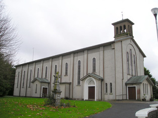 Catholic Church of Saint Patrick and Saint Brigidchurch/chapel · 1524 yd
 R.C. ChapelChurch · 1593 yd
 Kilteely HillMountain / peak · 1.1 mi
 (Site of) CastleCastle, unclassified · 1.6 mi
 KnockseefinMountain / peak · 2.4 mi
 Flat cemetery in Knockainy WestFlat cemetery · 4.9 mi
 St Patrick's WellSpring · 6.8 mi
 Ballinvreena LoopVisitor information · 9.7 mi
Other information
Photo: Credit not shown in the picture search · Rights wording not checked; contact us if this picture should be removed