What is recorded here
On a low rise of ground with good views to the N. Small circular-shaped flat-topped mound (top diam. 9.5m N-S; 8.5m E-W; H 2m) of earth and stone defined by a scarp with no visible sign of an external fosse. Not indicated on the 1837 ed. OS 6-inch map.
Compiled by: Caimin O'Brien
Date of upload: 01 August 2013
Mound barrow, likely dating to the Early Bronze Age. It represents a type of funerary monument associated with early burial practices and social structures in the region.
The monument record does not grant public access. Check the route and ask the landowner before entering private land.
- What survives
- Recorded monument
Places near here
 Partially hachuredFairy fort / earthen ringfort · 714 yd
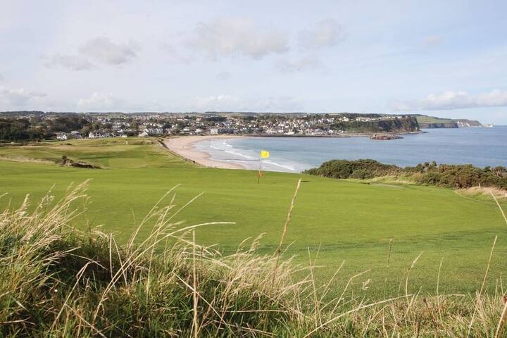 OutlinedFairy fort / earthen ringfort · 799 yd
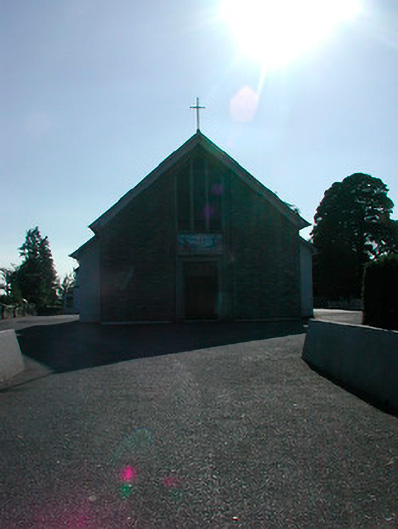 Saint Stephen's Catholic Churchchurch/chapel · 1163 yd
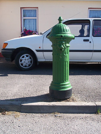 water pumpwater pump · 1200 yd
 Tyrrellspass CastleCastle, tower house · 1289 yd
 CastleCastle, hall-house · 1.6 mi
 Cruil HillMountain / peak · 3.3 mi
 Ardan WoodWood · 3.3 mi
 Lackan HillMountain / peak · 3.4 mi
 Saint Clavin's WellSpring · 3.9 mi
 Croghan HillMountain / peak · 4.3 mi
 Finnrenashark Holy WellSpring · 4.4 mi