What is recorded here
The following description is derived from the published 'Archaeological Inventory of County Meath' (Dublin: Stationery Office, 1987). In certain instances the entries have been revised and updated in the light of recent research.
Date of upload/revision: 10 July 2007
Flat-topped rectangular mound (dims. of top 5.8m N-S, 3.7m E-W, H 1.2m). (PRIA 1957, 265, No. 14)
The monument record does not grant public access. Check the route and ask the landowner before entering private land.
- What survives
- Recorded monument
Places near here
 Enclosure in Piercetown (duleek Upper By.)Enclosure · 247 yd
 Church (in Ruins)Church · 537 yd
 PuddenhillHeritage attraction · 1134 yd
 Enclosure in RoadmainEnclosure · 1265 yd
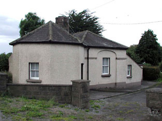 toll housetoll house · 1.1 mi
 Newtown GorseWood · 1.3 mi
 Newtown HillMountain / peak · 1.6 mi
 CastleCastle, unclassified · 2.3 mi
 Emerald ParkHeritage attraction · 2.8 mi
 Macetown CastleCastle, tower house · 2.8 mi
 Lemur WoodWood · 2.8 mi
 The story of the milk standMemorial · 3.6 mi