What is recorded here
On a knoll in a low-lying level landscape. Circular grass-covered area (diam. 6m N-S; 5.2m E-W) defined by an earthen bank (Wth 2.8m; int. H 0.1-0.3m; ext. H 0.3-5m) which is reduced to a scarp at N. There is an entrance (Wth 2.7m) at SE (max. ext. diam. 11.3m N-S; 10.8m E-W). Enclosure (RO021-063005-) is c. 30m to the SSW.
Compiled by: Michael Moore
Date of upload: 24 August 2010
A Neolithic embanked barrow; likely dates to the Early to Middle Neolithic period (c. 4000–3000 BCE). Such barrows are significant as early funerary monuments and indicators of settled agricultural communities in the region.
The monument record does not grant public access. Check the route and ask the landowner before entering private land.
- What survives
- Recorded monument
Places near here
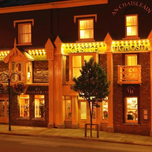 IndicatedChurch · 122 yd
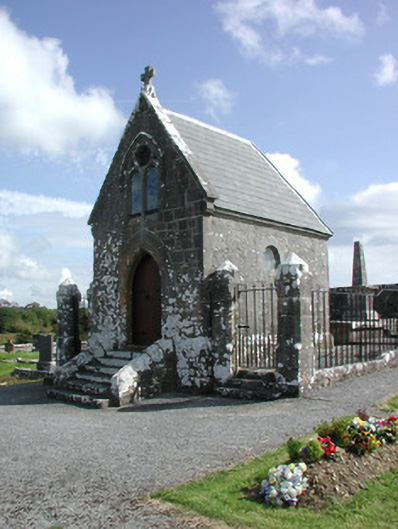 Irwin Mortuary ChapelOfficially recorded historic building · 129 yd
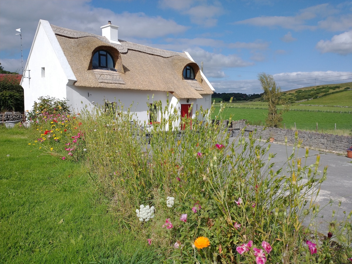 Sweathouse in RathmoyleSweathouse · 868 yd
 Enclosure in Glenvela,gortnasillaghEnclosure · 1021 yd
 CastlerubyCastle, unclassified · 2.4 mi
 Silver IslandIslet · 3.8 mi
 GortnacushlaunCastle, unclassified · 3.8 mi
 European ashEuropean ash · 4.1 mi
 ToberagullaSpring · 4.1 mi
 Workhouse MemorialMemorial · 4.4 mi
 Fairymount HillMountain / peak · 6.2 mi
 Gray's WoodForest · 7.4 mi