What is recorded here
Situated in wet marshy pasture, atop low hillock with good views of Devils Bit to NE in mountian valley running NE-Sw in upland region. Well preserved possible ditch-barrow consisting of a circular mound (top diam. 9m NW-SE; base diam. 13m NW-SE; H 0.3m) and fosse (base Wth 5m; top Wth 9m; ext. D 0.45m) with no traces of an outer bank. Overall diameter measures 31m NW-SE.
Compiled by: Caimin O'Brien.
Date of upload: 22 September 2008
Ditch barrow, likely dating to the Early Bronze Age. Its location and preservation offer insight into prehistoric funerary practices and landscape use in upland regions.
The monument record does not grant public access. Check the route and ask the landowner before entering private land.
- What survives
- Recorded monument
Places near here
 Site of Cashlauncreen CastleCastle, tower house · 1083 yd
 Wedge tomb in Knockcurraghbola CommonsWedge tomb · 1.4 mi
 Templeougher (site of)Church · 1.5 mi
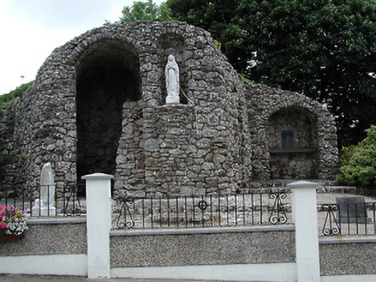 shrine/oratory/grottoshrine/oratory/grotto · 1.5 mi
 Catholic Church of the Sacred Heartchurch/chapel · 1.5 mi
 Moher HillMountain / peak · 2.0 mi
 KnockmaroeMountain / peak · 2.3 mi
 Drumbane CastleCastle · 3.9 mi
 Drum WoodWood · 4.9 mi
 Killavalla WoodForest · 7.6 mi
 Silvermines ViewpointViewpoint · 10 mi
 Our Lady Assumed into HeavenMemorial · 11 mi