
What is recorded here
Situated on top of a drumlin. A hachured mound is depicted as within a larger enclosure (MO011-003001-) only on the 1907 edition of the OS 6-inch map, and both are depicted as a planation on the 1834 edition. The barrow is a low grass-covered mound (diam. of top 7.5m N-S; 7.5m E-W; H 0.65m) with some deciduous trees defined by a fosse (Wth of base 0.8m; ext. D 0.3m). There is no outer bank (max. ext. diam. 14m), and there is no evidence now of an outer enclosure, but that was recorded in 1948 (OSFM) as a circular area (diam. c. 40m N-S) defined by a scarp (H c. 1m) NW-E-SW that melded into the slope elsewhere.
Date of revised upload: 26 January 2018
Ditch barrow, likely dating to the Early Bronze Age. Its location on a drumlin and depiction on early Ordnance Survey maps suggest it is a significant, though poorly documented, prehistoric burial monument.
The monument record does not grant public access. Check the route and ask the landowner before entering private land.
- What survives
- Recorded monument
Places near here
 Black Pig's DykeArchaeological place · 298 yd
 LARGE HILLTOP ENCLOSURE in LisleaLARGE HILLTOP ENCLOSURE · 791 yd
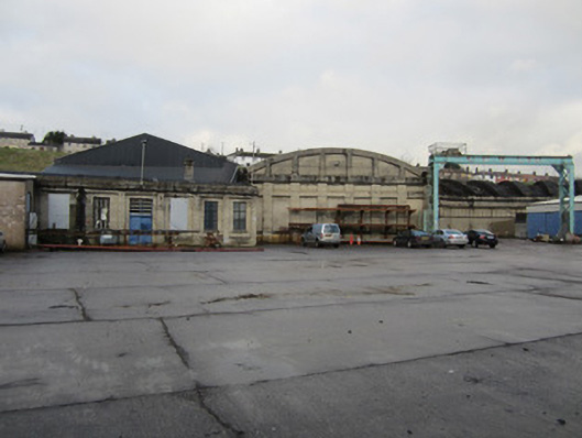 Clones Railway Stationlocomotive shed · 1.0 mi
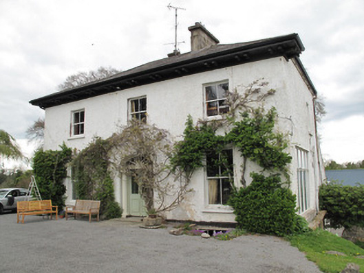 Drumard Househouse · 1.1 mi
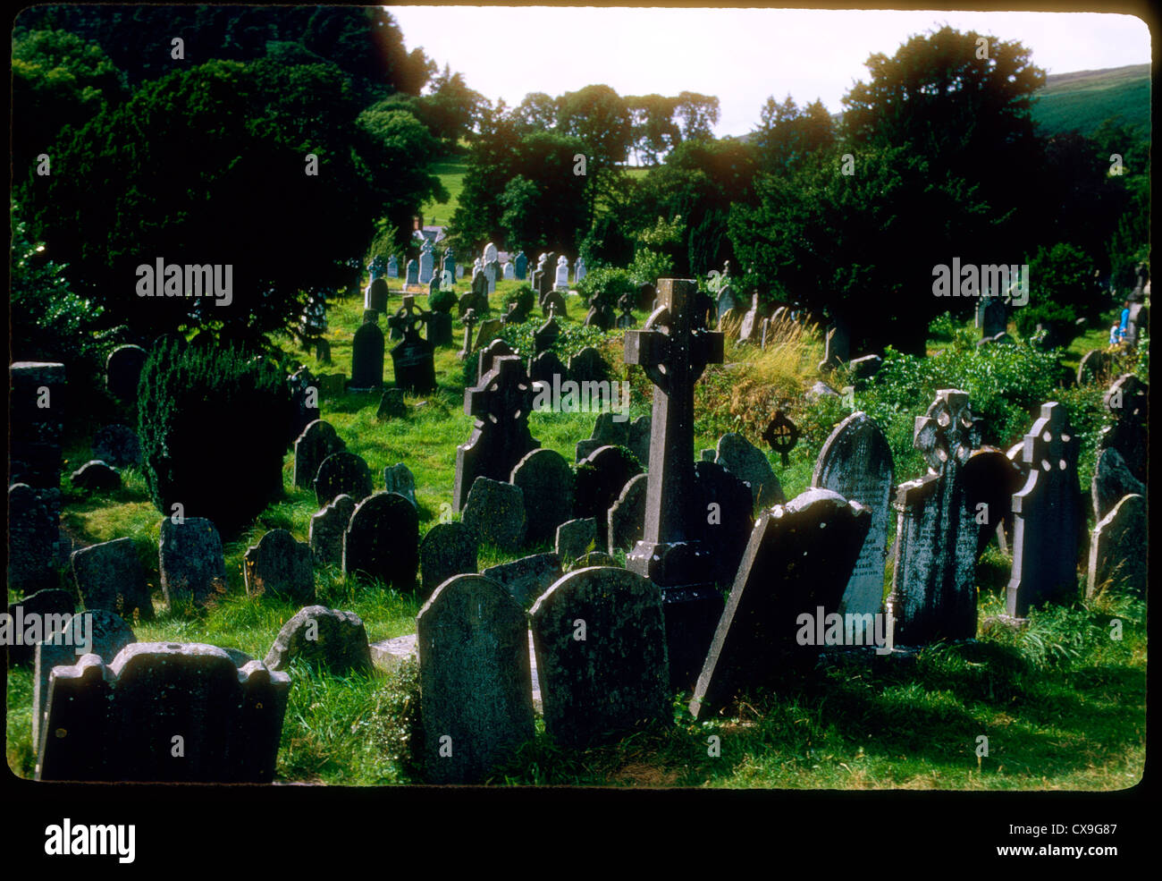 Clontivrin Grave YardArchaeological place · 1.1 mi
 CastleCastle, motte and bailey · 1.3 mi
 PLANTATION TOWER-HOUSE & BAWN (unlocated) in ShannockPLANTATION TOWER-HOUSE & BAWN (unlocated) · 1.3 mi
 The Cassandra Hand CentreMuseum · 1.4 mi
 Ulster Canal Stores Visitor CentreHeritage attraction · 1.4 mi
 Saint John's WellSpring · 3.2 mi
 KillycoonaghWood · 3.4 mi
 Common LimeCommon Lime · 3.5 mi
Other information
Photo: Credit not shown in the picture search · Rights wording not checked; contact us if this picture should be removed