What is recorded here
In pasture, 55m E of townland boundary with Baggotstown East. A possible ditch-barrow (LI040-240----) lies 15m to the NW and a second ditch-barrow (LI040-190----) lies 10m to the SE. Faint trace of cropmark (diam. c. 11m) visible on Google Earth orthoimage taken 25/03/2017.
See attached Google Earth orthoimages
Compiled by: Caimin O'Brien
Date of upload: 23 June 2021
Ditch barrow, likely dating to the Early Bronze Age. Its small size and association with other ditch-barrow monuments suggest a local funerary or ritual significance within a broader landscape of burial practices.
The monument record does not grant public access. Check the route and ask the landowner before entering private land.
- What survives
- Recorded monument
Places near here
 BarrowBarrow, ditch barrow · 357 yd
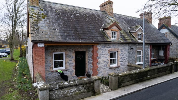 Enclosure in BaggotstownEnclosure · 773 yd
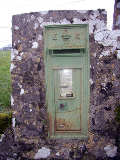 post boxpost box · 859 yd
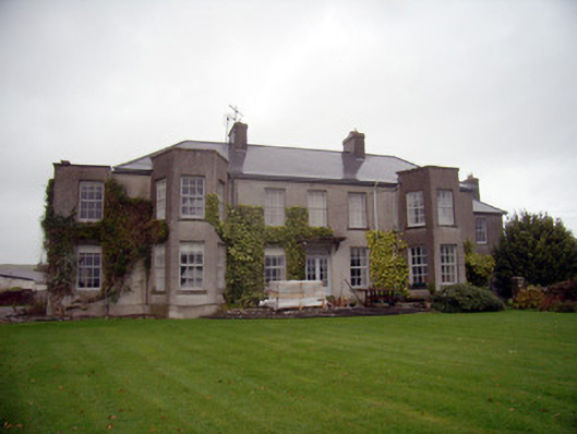 Knockainy Studcountry house · 938 yd
 Knockainy Castle (in ruins)Castle, tower house · 1059 yd
 KnockainyMountain / peak · 1133 yd
 Desmond Castle (in ruins)Castle, unclassified · 1302 yd
 Flat cemetery in Knockainy WestFlat cemetery · 1.1 mi
 Glen BogForest · 1.7 mi
 St Patrick's WellSpring · 4.3 mi
 Kilteely HillMountain / peak · 4.8 mi
 Edmund's WellSpring · 5.2 mi