What is recorded here
In wet pasture, 12m E of the townland boundary with Knockderk. Possible barrow (LI033-127----) lies 35m to N, and possible barrow (LI033-128----) 30m to NNE. Not depicted on historic OSi maps. Identified by Bruff aerial photographic survey in 1986 (Bruff 127; AP 4/3616) as a ring-barrow. Visible as a circular-shaped area (diam. c. 12m) defined by a fosse on OSi orthophotos taken between 2005-12 and on Google Earth orthoimage dated 20/09/2020.
See attached Google Earth orthoimages and Bruff image showing monument labelled Bruff 127.
Compiled by: Martin Fitzpatrick
Date of upload: 18 April 2021
A ditch barrow, likely dating to the Early Bronze Age. Its significance lies in its association with a broader burial landscape, suggesting ritual or funerary activity in the Clynabroga area during the prehistoric period.
The monument record does not grant public access. Check the route and ask the landowner before entering private land.
- What survives
- Recorded monument
Places near here
 BarrowBarrow, unclassified · 57 yd
 Enclosure in KnockaleganEnclosure · 772 yd
 Templebredon Church (in ruins)Church · 826 yd
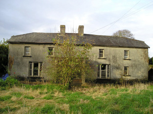 Derk Cottagehouse · 1588 yd
 Site of Ballyneety CastleCastle, unclassified · 1.2 mi
 Carrickittle RockCastle, unclassified · 1.2 mi
 St. Patrick's WellSpring · 2.2 mi
 Kilteely HillMountain / peak · 2.2 mi
 KnockseefinMountain / peak · 3.0 mi
 Flat cemetery in Knockainy WestFlat cemetery · 5.5 mi
 St Patrick's WellSpring · 6.5 mi
 Ballinvreena LoopVisitor information · 9.5 mi