What is recorded here
Situated in grassland on the E bank of the River Liffey. Cropmark of circular shaped enclosure (approx. diam. 11m) visible on Google Earth imagery taken 28/06/2018.
See attached image taken from Google Earth
Compiled by: Caimin O'Brien based on details kindly provided by Chris Corlett
Date of upload: 29 November 2018
A Neolithic ditch barrow, dating to the 4th to 3rd millennium BCE, representing an early form of burial monument associated with the construction of earthworks and enclosures in Ireland. Its location near the River Liffey suggests a strategic or ritual significance in the Neolithic landscape.
The monument record does not grant public access. Check the route and ask the landowner before entering private land.
- What survives
- Recorded monument
Places near here
 EnclosureEnclosure, large enclosure · 120 yd
 Enclosure in CastlesizeEnclosure · 376 yd
 Church (in Ruins)Church · 1045 yd
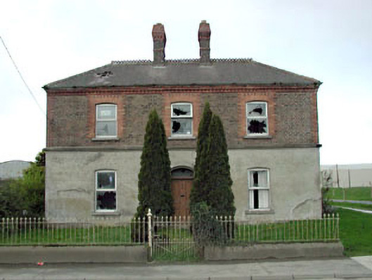 Home Farm Housemiller's house · 1190 yd
 Sallins LodgeCastle, tower house · 1495 yd
 CastleCastle, tower house · 1.2 mi
 King Mesgegra’s Mound & later Norman MotteMemorial · 2.0 mi
 Naas ParkWood · 2.0 mi
 Monread District Park WoodsWood · 2.1 mi
 Poplar SquarePicnic place · 2.8 mi
 Athgoe HillMountain / peak · 6.9 mi
 Saint Finian's WellSpring · 7.2 mi