What is recorded here
In improved pasture. Circular sunken area (dims. 5.4m NNW-SSE; 5.2m ENE-WSW) defined by fosse (overall Wth 1.9m; basal Wth 0.3m; D 0.15m) NNW-S and disturbed by levelled field boundary (long axis NNW-SSE) to W. Ditch-barrow (TS060-20 NEW) is c. 90m to W. A third depression to NW may represent a poorly preserved ditch-barrow as according to local information, clay was dumped into it. Enclosure (TS060-020----) is c. 20m to W.
Compiled by: Jean Farrelly
Date of upload: 26 August 2011
Ditch barrow, likely dating to the Early Bronze Age. Its circular fosse and sunken area suggest a funerary or ceremonial function, typical of burial monuments in the Irish landscape during this period.
The monument record does not grant public access. Check the route and ask the landowner before entering private land.
- What survives
- Recorded monument
Places near here
 Enclosure in Ballynahinch (ballygriffin Par.)Enclosure · 86 yd
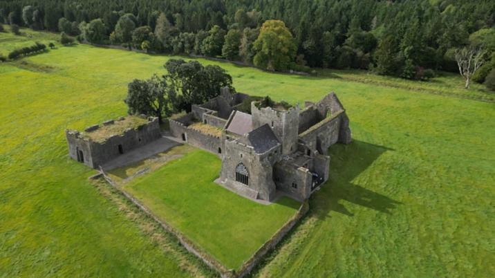 Enclosure in KilshenaneEnclosure · 859 yd
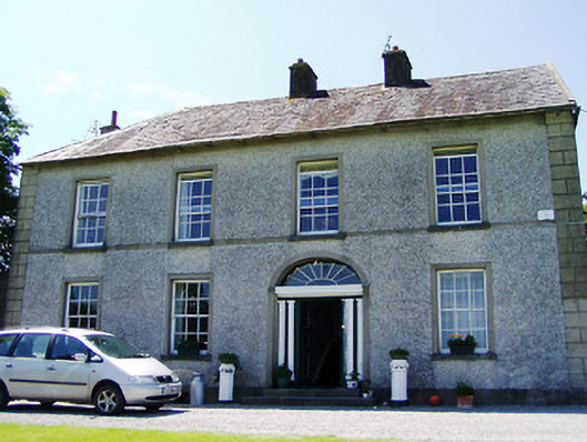 Ballynahinch Househouse · 1389 yd
 Ballynahinch Church (in ruins)Church · 1.1 mi
 Camus Castle (in ruins)Castle, unclassified · 1.1 mi
 Ballynahinch Castle (in ruins)Castle, tower house · 1.4 mi
 European ashEuropean ash · 1.8 mi
 Hore AbbeyHeritage attraction · 3.0 mi
 Black mulberryBlack mulberry · 3.3 mi
 Athassel PrioryHeritage attraction · 4.2 mi
 Soloheadbeg Ambushambush · 8.5 mi
 Soloheadbeg Ambush SiteMemorial · 8.8 mi