What is recorded here
In rough partially reclaimed pasture, to the S of a modern coniferous plantation. Not marked on OSi historic maps. Identified as a circular cropmark by the Bruff aerial photographic survey in 1986 (Bruff 75; AP 5/2109). Monument visible as a circular cropmark (diam. c. 6m) on Digital Globe orthoimage taken between 2011-13. The monument is intersected at E by a linear cropmark running NE-SW (L. 107m) which is probably the remains of a drainage ditch.
See attached Bruff survey image showing cropmark labelled Bruff 75 and Google Earth orthoimages.
Compiled by: Fiona Rooney
Date of upload: 30 June 2021
A ditch barrow, likely dating to the Early Bronze Age. Its significance lies in its identification through aerial photography, contributing to understanding of prehistoric burial practices in the region.
The monument record does not grant public access. Check the route and ask the landowner before entering private land.
- What survives
- Recorded monument
Places near here
 EnclosureEnclosure, large enclosure · 223 yd
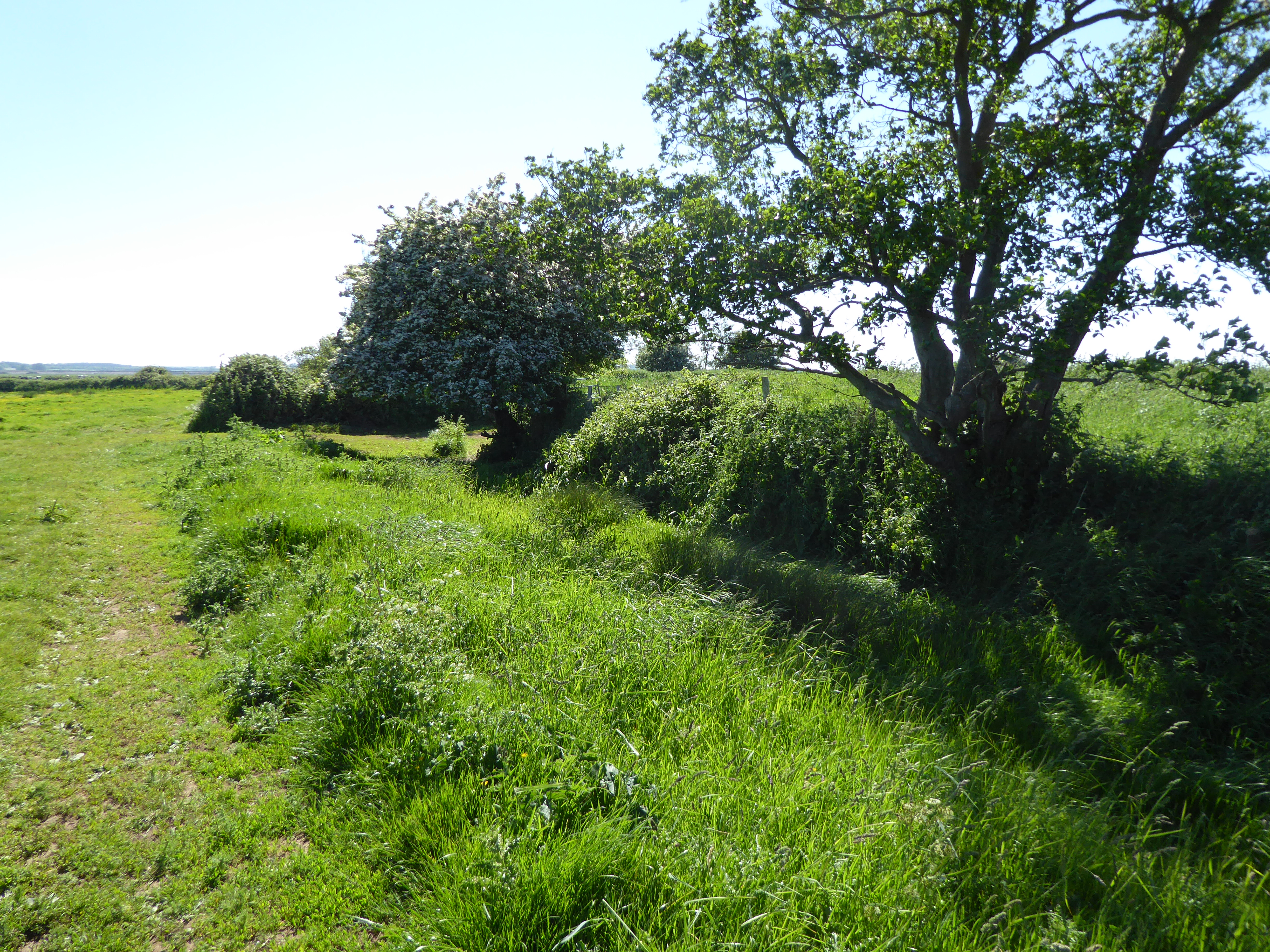
 BarrowBarrow, ditch barrow · 230 yd
 Greenpark Housecountry house · 1074 yd
 post boxpost box · 1385 yd
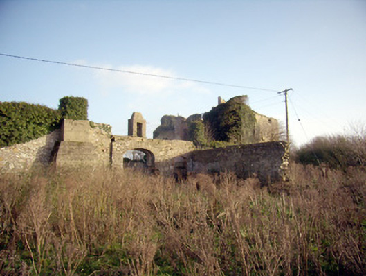
 Site of Bulgaden HallCastle, unclassified · 1.3 mi
 Ballygrennan Castle (in ruins)Castle, tower house · 1.4 mi
 KnockainyMountain / peak · 3.6 mi
 Flat cemetery in Knockainy WestFlat cemetery · 4.1 mi
 St Bridget's WellSpring · 4.9 mi
 Ballinvreena LoopVisitor information · 5.8 mi
 St Patrick's WellSpring · 5.9 mi
 Palatine's RockNamed rock · 7.4 mi