What is recorded here
The official Northern Ireland record identifies this as BARROW & CIST. Recorded period: PREHISTORIC. Recorded protection: Scheduled. The official map point was placed at the centre of the recorded archaeological site from the source map reference.
A Neolithic barrow and cist; significant as a scheduled prehistoric burial monument.
The monument record does not grant public access. Check the route and ask the landowner before entering private land.
- What survives
- Recorded monument
Places near here
 ENCLOSURE in GorteenENCLOSURE · 176 yd
 Standing StoneArchaeological place · 307 yd
 PENITENTIAL STATION STONES in CavancarraghPENITENTIAL STATION STONES · 584 yd
 Saint Patrick's Holy WellSpring · 664 yd
 Teampull RuisínHeritage attraction · 674 yd
 The Market Housemarket house · 1292 yd
 AughrimMountain / peak · 1522 yd
 Kilrooscagh IslandIslet · 1.3 mi
 Corry PointHeadland · 1.3 mi
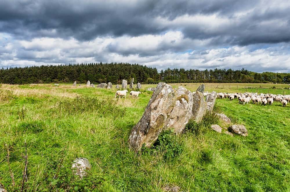 Cloughbeach Stone CircleArchaeological place · 1.5 mi
 InisheeIsland · 1.6 mi
 Crannog IslandWood · 1.8 mi