
What is recorded here
The official Northern Ireland record identifies this as a Grade B1 listed building. Recorded construction date: 1880 - 1899. Current recorded use: Bridge.
The official record and map point do not grant access. Many historic buildings are privately owned; view them only from public ground unless the owner allows entry.
Places near here
 ENCLOSURE in Ballycoshone LowerENCLOSURE · 1252 yd
 Clonduff Presbyterian ChurchChurch · 1331 yd
 McComb's BridgeBridge · 1508 yd
 ENCLOSURE in BallyweelyENCLOSURE · 1.6 mi
 The Brontë CentreVisitor information · 1.7 mi
 TOWER-HOUSE: RATHFRILAND CASTLE in RossconorTOWER-HOUSE: RATHFRILAND CASTLE · 1.7 mi
 CASTLE & RATH reused as BAILEY: SEAFIN CASTLE; Magh Cobha; Moycove in SeafinCASTLE & RATH reused as BAILEY: SEAFIN CASTLE; Magh Cobha; Moycove · 2.8 mi
 Kilcoo GraveyardWalking route · 3.4 mi
 KnockiveaghMountain / peak · 3.5 mi
 Knockiveagh Picnic SitePicnic place · 3.7 mi
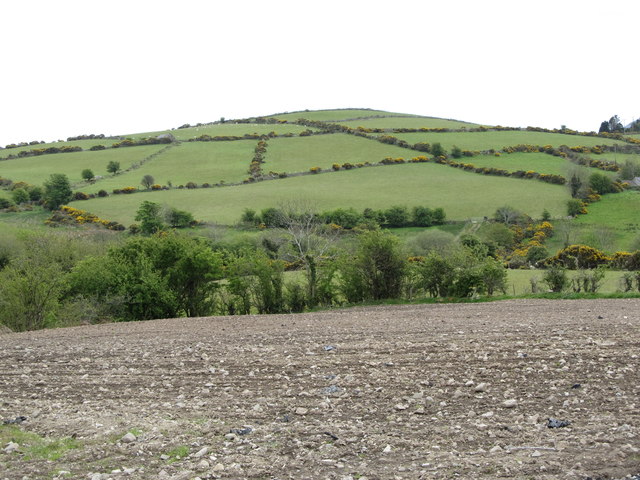 Carn HillMountain / peak · 3.9 mi
 CHURCH & GRAVEYARD: DRUMGOOLAND in DeehommedCHURCH & GRAVEYARD: DRUMGOOLAND · 4.3 mi
Other information
Photo: Eric Jones · CC BY-SA 2.0