_-_geograph.org.uk_-_5817197.jpg)
What is recorded here
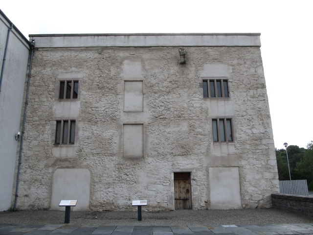
The official Northern Ireland record identifies this as a Grade B1 listed building. Recorded construction date: 1820 - 1839. Current recorded use: Bank.
The official record and map point do not grant access. Many historic buildings are privately owned; view them only from public ground unless the owner allows entry.
Places near here
 Salvation Army CitadelChurch · 28 yd
 St. Colman's HallHall · 88 yd
 Basin Walk Car ParkVisitor information · 89 yd
 Corry Obelisk MonumentMonument · 113 yd
 Newry CenotaphMemorial · 182 yd
 The Newry NavvyVisitor information · 219 yd
 POST-MEDIEVAL CHURCH & GRAVEYARD: ST. PATRICK'S in NewryPOST-MEDIEVAL CHURCH & GRAVEYARD: ST. PATRICK'S · 297 yd
 1971 Newry killingsmassacre · 360 yd
 Linenhall ArchMonument · 461 yd
 Newry and Mourne MuseumMuseum · 663 yd
 Bagenal's CastleCastle · 670 yd
 TOWER-HOUSE: BAGENAL'S CASTLE in NewryTOWER-HOUSE: BAGENAL'S CASTLE · 672 yd
Other information
Photo: Eric Jones · CC BY-SA 2.0