
What is recorded here
Bangor Castle stands in County Down, Ireland, where stone walls still mark the edge of a place people have walked for centuries. It is not a grand palace or a famous battlefield, but a castle record preserved in the local landscape. That much is enough to imagine the lives that moved through it: guards, traders, families, travellers, and the children who ran barefoot across its yards. The castle does not need a heroic legend because it already belongs to the region and the region belongs to everyone who remembers it.
Bangor Castle is recorded as a castle in County Down. Its open map record supplies this location and any linked names or public references.
Bangor Castle was built in the late 12th or early 13th century by the Anglo-Norman settlers in the aftermath of the Harrying of the North. It is remembered as a strategic stronghold in the expansion of Norman influence into Ulster.
Places near here
 Town HallTown Hall · 38 yd
 North Down MuseumMuseum · 45 yd
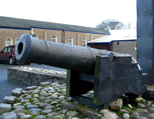 AUGUSTINIAN ABBEY : MALACHY'S WALL; BANGOR ABBEY in Corporation (bangor)AUGUSTINIAN ABBEY : MALACHY'S WALL; BANGOR ABBEY · 359 yd
 CROSS: CROSS HILL in Corporation (bangor)CROSS: CROSS HILL · 436 yd
 Bangor CenotaphMonument · 680 yd
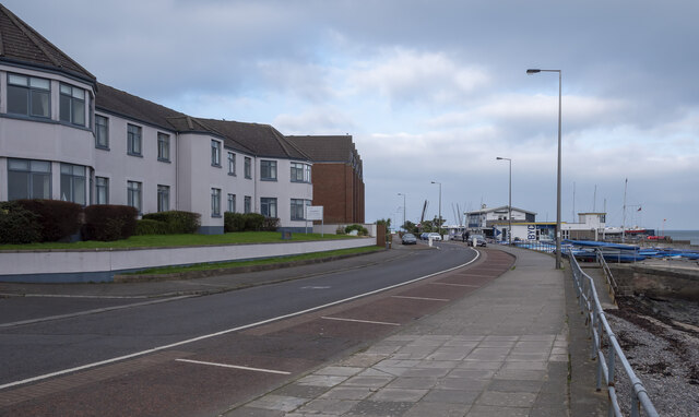 North Down Coastal PathVisitor information · 888 yd
 Skippingstone BeachBeach / strand · 1411 yd
 Brompton BayBeach / strand · 1.0 mi
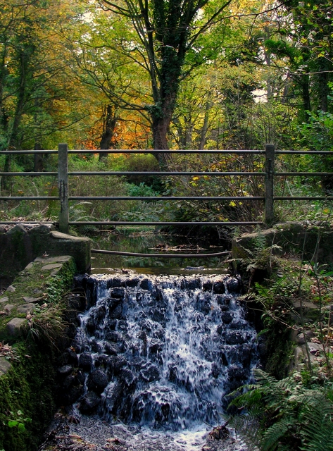 Stricklands GlenWood · 1.1 mi
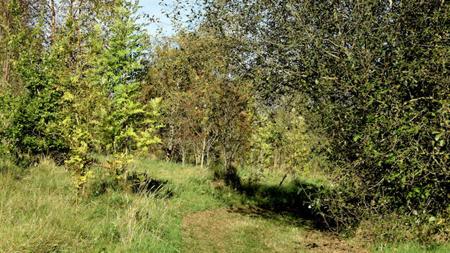 Kilcooley WoodWood · 1.4 mi
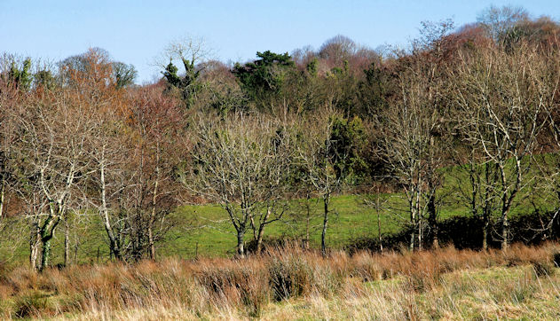 Crawfordsburn Country ParkVisitor information · 2.0 mi
 Somme Heritage CentreMuseum · 2.9 mi
Other information
Photo: MartinRobinson at English Wikipedia · CC BY-SA 3.0