What is recorded here
Scotland's National Record of the Historic Environment records Balmerino Abbey, Monk's Well as Watermill (period Unassigned), Well (period Unassigned). The official map says its point is accurate as follows: NGR given to the nearest 10m. The record does not by itself mean that the public may enter the place.
The historic-place record does not grant public access. Check current conditions and ownership before entering land or a building.
Places near here
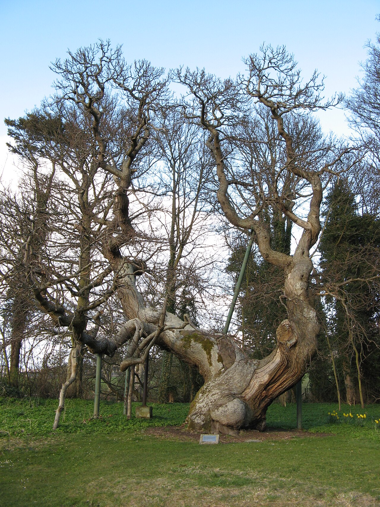 Queen Ermengarde's ChestnutSweet Chestnut · 72 yd
 Balmerino, BridgeMill Dam (period Unassigned), Road Bridge (period Unassigned) · 119 yd
 Memorial CottagesMemorial · 195 yd
 Balmerino MillGrain Mill (18th Century) · 247 yd
 BalmerinoBoat (period Unassigned) · 262 yd
 Balmerino AbbeyDie (copper)(period Unassigned), Spindle Whorl(s) (lead Alloy)(period Unassigned) · 331 yd
 ByresLinear Feature (period Unassigned) · 626 yd
 Firth of TayBay · 1.1 mi
 Low WoodWood · 1.3 mi
 Tay MountMountain / peak · 1.6 mi
 Round HillMountain / peak · 1.9 mi
 Wormit BayBay · 2.0 mi