
What is recorded here
Mortals may have built the ring, but the fairies inherited it. They swept in through the northeast gap during storms, dragging marrow and memory into their hollow halls. The land remembers their footsteps more clearly than human history.
Internal diam. 27m. An almost circular platform, up to 1.7m above the surrounding ground. A modern field boundary has been constructed along the E side. There are faint traces of a perimeter bank around the edge. There is a 2.7m gap to the NE. The site is located directly above the coast to the SE in fairly good pasture land.
The above description was derived from the 'Archaeological Survey of County Donegal. A description of the field antiquities of the County from the Mesolithic Period to the 17th century.' Compiled by: Brian Lacey with Eamon Cody, Claire Cotter, Judy Cuppage, Noel Dunne, Vincent Hurley, Celie O'Rahilly, Paul Walsh and Seán Ó Nualláin (Lifford: Donegal County Council, 1983). In certain instances the entries have been revised and updated.
Date of upload: 22 September 2008
The monument record does not grant public access. Check the route and ask the landowner before entering private land.
- What survives
- Recorded monument
Places near here
 Cross in BallysaggartCross · 392 yd
 Ballysaggart FriaryReligious house, Franciscan Third Order Regular · 472 yd
 Ballyederlan Ridge Fairy FortFairy fort / earthen ringfort · 567 yd
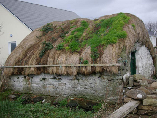 outbuildingoutbuilding · 1286 yd
 Bawn in Rahan NearBawn · 1.5 mi
 Killaghtee Old Church GraveyardGraveyard · 2.1 mi
 Carntullagh HeadHeadland · 2.3 mi
 Rabley HillMountain / peak · 2.3 mi
 Rotten IslandIslet · 2.4 mi
 Rashenny PointHeadland · 2.6 mi
 European BeechEuropean Beech · 2.6 mi
 GinkgoGinkgo · 2.6 mi
Other information
Photo: Credit not shown in the picture search · Rights wording not checked; contact us if this picture should be removed