What is recorded here
Ballygarth Castle stands on the southern bank of the Nanny Water, a rectangular three-storey tower house that has watched the river loop for centuries. Lord Netterville held the entire parish there in 1640, and the Pepper family kept it long after the Restoration until the late twentieth century. A Georgian wing joined the ancient stone in 1782, while newel stairs still climb the eastern and western angles. The castle remains occupied, proving that human life and memory can continue inside old walls without breaking their history.
Situated on the S bank of the meandering Nanny Water c. 100m SW of a loop in the river, and c. 2km from where it enters the Irish Sea. According to the Civil Survey (1654-6) Lord Netterville of Ballygarth owned 348 acres at Ballygarth and Corballis in 1640, amounting to the whole parish, and the property included ‘one castle, a house and some cabins’ (Simington 1940, 5). Following the Restoration in 1660 it became the property of the Pepper family who retained it into the late twentieth century (Casey and Rowan 1993, 323). This is a rectangular three-storey tower house, modernised probably in the mid-nineteenth century, and still occupied. It has projecting rectangular towers with newel stairs at the E and W angles. A Georgian wing was built to the NE in 1782 and a narrow entrance block inserted to connect the two in the early nineteenth century.
The above description is derived from the published 'Archaeological Inventory of County Meath' (Dublin: Stationery Office, 1987). In certain instances the entries have been revised and updated in the light of recent research.
Compiled by: Michael Moore
Date of revision: 28 June 2016
Ballygarth Castle was held by Lord Netterville in the mid-17th century, as recorded in the Civil Survey of 1654–56. It is remembered for its historical association with the Netterville family, an influential Anglo-Irish lineage in the region.
The monument record does not grant public access. Check the route and ask the landowner before entering private land.
- What survives
- Recorded monument
Places near here
 Ballygarth CastleCastle · 14 yd
 IndicatedChurch · 97 yd
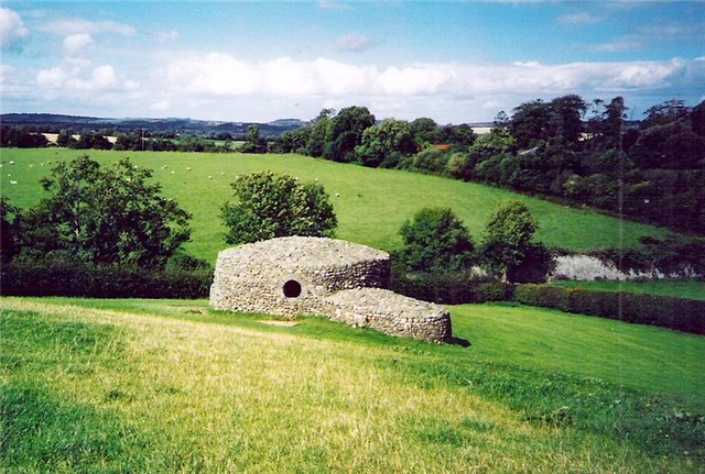 Enclosure in NinchEnclosure · 722 yd
 Enclosure in Corballis (duleek Upper By.)Enclosure · 754 yd
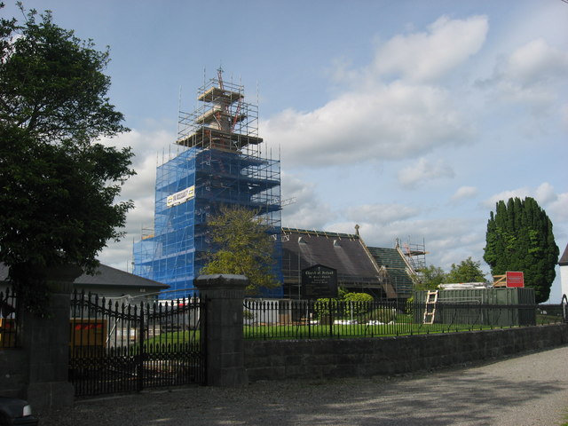 St. Marys ChurchChurch · 835 yd
 Battle of Julianstownbattle · 945 yd
 MoatCastle, motte · 2.0 mi
 Ben HeadCliff · 2.3 mi
 SycamoreSycamore · 2.8 mi
 European YewEuropean Yew · 3.0 mi
 Beaulieu House and GardensHeritage attraction · 3.9 mi
 Newgrange Business ParkMemorial · 4.9 mi