What is recorded here
Ballygally Historic Settlement marks a post-medieval human presence in County Antrim, retaining the odd dual spelling that separates official record from local speech. The land likely served nearby people for shelter, work or ritual before modern boundaries covered it. Its exact layout has faded, but the name still points to a place where ordinary life repeated itself long enough to become history.
The official Northern Ireland record identifies this as Ballygally Historic Settlement. Recorded period: C17TH; POST-MED. The official map point was placed at the centre of the recorded archaeological site from the source map reference.
The monument record does not grant public access. Check the route and ask the landowner before entering private land.
- What survives
- Recorded monument
Places near here
 Ballygally CastleHeritage attraction · 93 yd
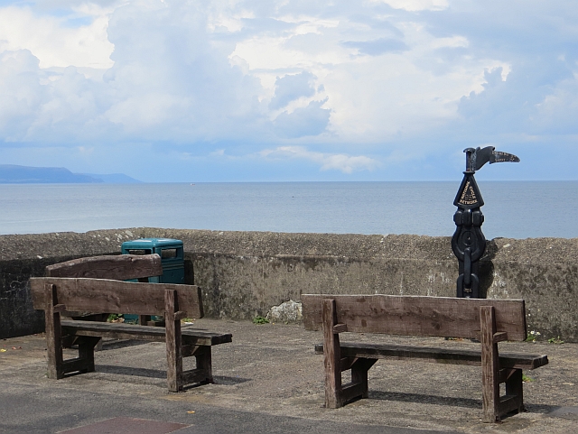 Millennium MilepostVisitor information · 148 yd
 FONT & ARCHITECTURAL FRAGMENTS in BallygalleyFONT & ARCHITECTURAL FRAGMENTS · 482 yd
 CairncastleRuins · 1053 yd
 Ballygalley HeadCliff · 1219 yd
 Garden TrailWalking route · 1467 yd
 ENCLOSURE in CorkermainENCLOSURE · 1637 yd
 Hillmount HouseCastle · 1.8 mi
 Blackcave TunnelTunnel · 2.3 mi
 Scawt HillMountain / peak · 2.3 mi
 BallycoosMountain / peak · 2.3 mi
 Larne War MemorialMemorial · 3.7 mi