What is recorded here
Ballintoy Historic Settlement occupies the heart of County Antrim, preserving human presence from the post-medieval period through the seventeenth century. The land holds the shape of lives long gone, marking a continuous thread of local identity rather than a forgotten ruin.
The official Northern Ireland record identifies this as Ballintoy Historic Settlement. Recorded period: POST-MED; C17TH. The official map point was placed at the centre of the recorded archaeological site from the source map reference.
The monument record does not grant public access. Check the route and ask the landowner before entering private land.
- What survives
- Recorded monument
Places near here
 Fullerton ArmsPublic House · 128 yd
 Lime Kiln, Carrick-a-redeMonument · 640 yd
 ENCLOSURE (possibly modern) in Ballintoy DemesneENCLOSURE (possibly modern) · 717 yd
 Sheep IslandIslet · 1514 yd
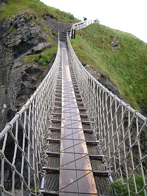 Carrick-a-rede Rope BridgeHeritage attraction · 1680 yd
 Carrickarede IslandIslet · 1.0 mi
 White Park BayVisitor information · 2.0 mi
 Kinbane CastleCastle · 2.6 mi
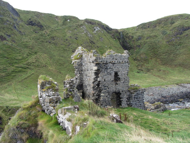 KINBANE CASTLE in CregganboyKINBANE CASTLE · 2.6 mi
 Dunseverick FallsWaterfall · 3.3 mi
 DunsevrickCliff · 3.4 mi
 Ramoan Presbyterian ChurchChurch · 4.2 mi