What is recorded here
Field inspection established that there are no surface remains visible of Aughnagan Ford which is marked on the 1843 ed. OS 6-inch map. According to the OS Name Books (c. 1840) Aughnagan is derived from Ath Na Gcean meaning Ford of the Heads. According to local tradition a battle was fought here between Cromwells army and O'Carrolls army. The ford was destroyed when the level of the river was raised for the mills in Riverstown.
This remains an important historical record, but the official description says the monument is no longer visible or has been destroyed. The monument record does not grant public access. Check the route and ask the landowner before entering private land.
- What survives
- No visible remains or recorded as destroyed
Places near here
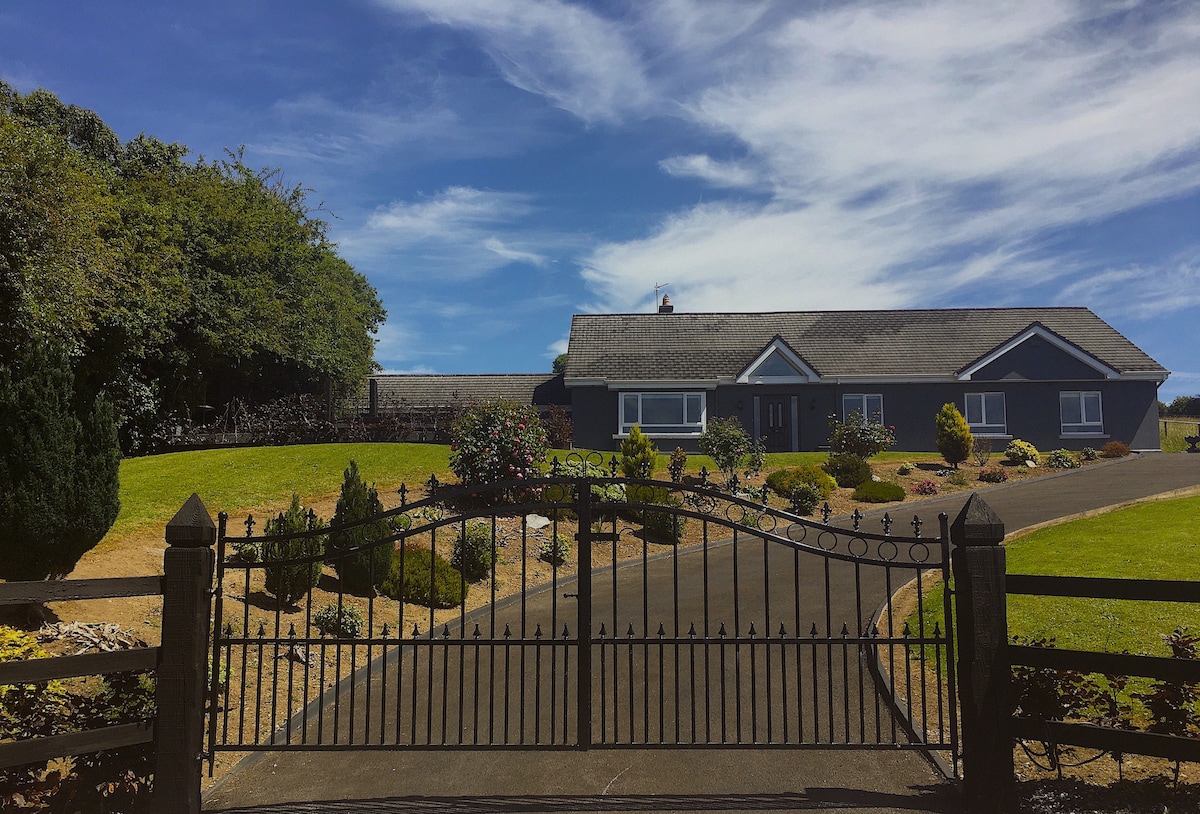 Enclosure in CrinkillEnclosure · 322 yd
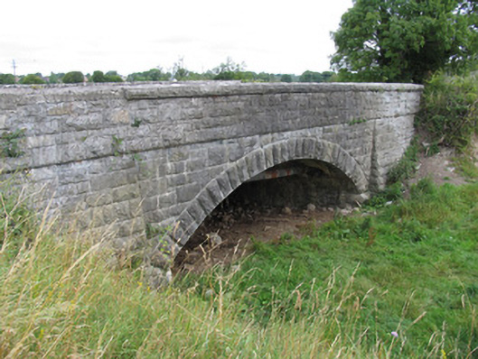 bridgebridge · 806 yd
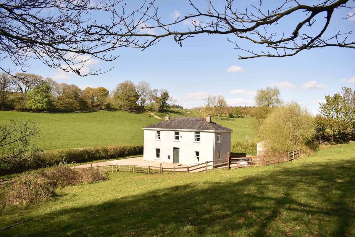 Enclosure in BallindarraEnclosure · 858 yd
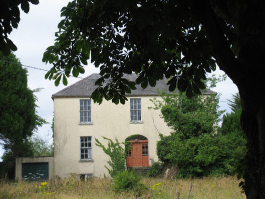 Castle Viewhouse · 939 yd
 Bawn in BallindarraBawn · 1071 yd
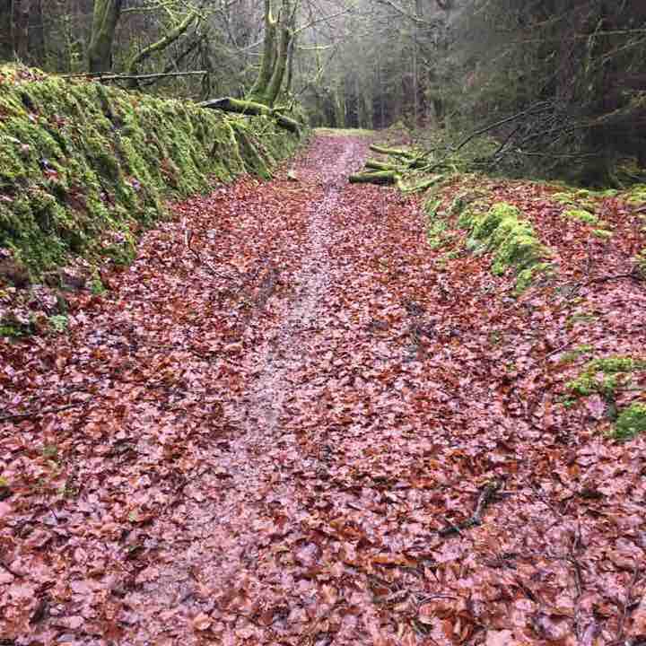 Killeen WoodWood · 1278 yd
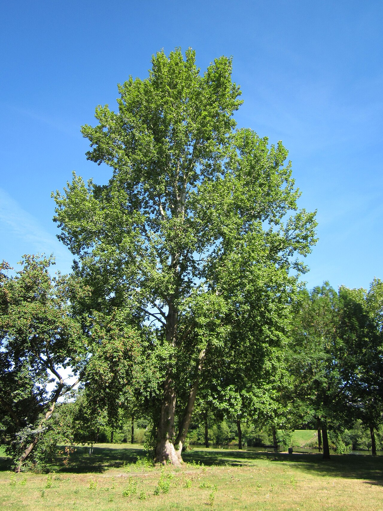 Grey PoplarGrey Poplar · 1.4 mi
 Waterfall PointViewpoint · 1.5 mi
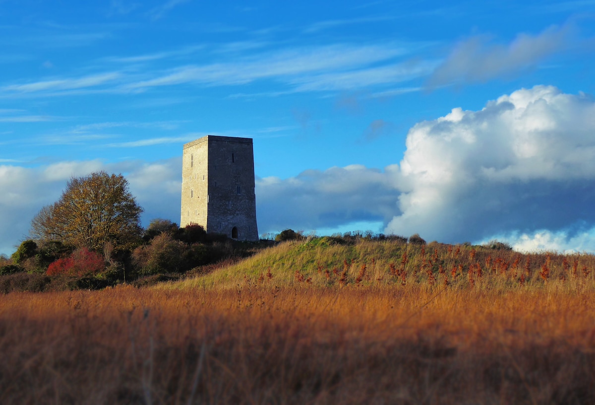 Black Castle (Site of)Castle, motte · 1.5 mi
 The Great Telescope 'Leviathan'Heritage attraction · 1.6 mi
 Birr Heritage CentreMuseum · 1.7 mi
 James Franklin FullerMemorial · 1.7 mi