
What is recorded here
Athlacca Castle stood as a tower house beside the Morningstar River until destruction removed it before 1840. David Lacy owned its mill, orchard and two houses during the 1641 survey, while later De Lacy residents occupied the mansion house recorded in ruins. The modern farmyard now covers the place where those stone walls once rose.
Ruins of Athlacca House standing on N side of the Morningstar River depicted on 1840 ed. OSi 6-inch map and known locally as the 'Mansion House' may have been built on site of or incorporated medieval castle of Athlacca. Modern farmyard now stands on site of Athlacca House. Athlacca Church (LI039-014001-) and graveyard (LI039-014002-) 210m to E.
Westropp (1906-7, 168) recorded the following details about Athlacca; '1285 Athleketh, a manor of Maur. FitzGerald, frequently appears with Adare, as a manor of the Earls of Kildare. 1318 J. Gower held it. There is little independent mention of it. 1655 David Lacy held Aghleakagh C[astle]. mill, and orchard (C.S., xxiv., p. 9 ; D.S.A., 42). 1666 Granted to C. Ormsby (Act Sett.). The C[astle]. was standing in 1827 (FitzGerald, i., p. 323), destroyed before 1840'.
The 1654-56 Civil Survey of Limerick recorded that in 1641 David Lacy of Athlacca an Irish Papist was the owner in Athlacca of 'a Mill [LI039-115----] an orchard and twoe good tatch houses, with a Castle' (Simington 1938, 126). Tower-house type castle depicted on the 1654-7 Down Survey map of Coshma Barony (Hib. Reg.). In 1840 the Ordnance Survey recorded that 'in the S of the td. [Athlacca North] is an old ruin. Mansion House - Old Court, near Athlacka Village. In ruins. An ancient residence of the De Lacy family (OSNB Athlacca Parish]'.
See attached Down Survey barony map
Compiled by: Caimin O'Brien
Date of upload: 30 April 2021
A possible medieval castle at Athlacca Ho. may have been held by the de la Roche family in the 13th century; its later remains were incorporated into or replaced by Athlacca House, remembered as a local landmark and 'Mansion House' by the 19th century.
The monument record does not grant public access. Check the route and ask the landowner before entering private land.
- What survives
- Recorded monument
Places near here
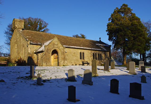 St. John the Baptists WellHoly well · 275 yd
 Old Tuck MillWater mill, unclassified · 320 yd
 Burial GroundGraveyard · 363 yd
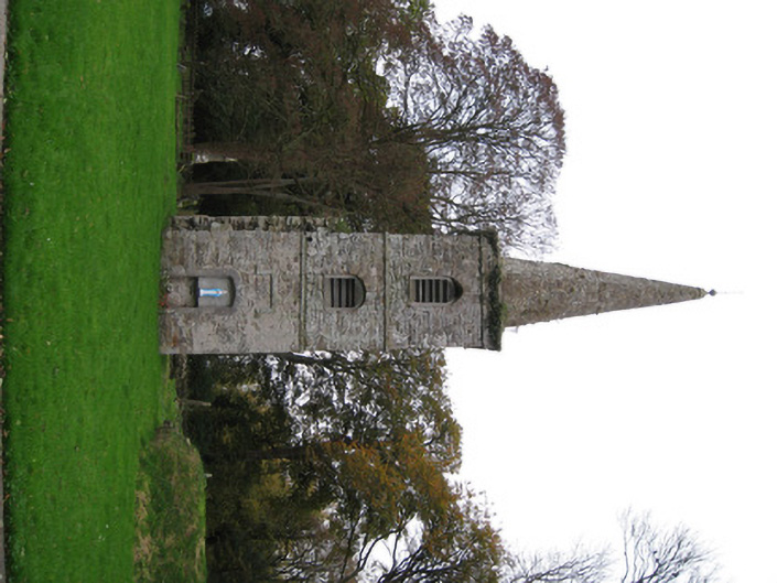 Athlacca Churchchurch/chapel · 366 yd
 Castle IeversCastle, unclassified · 1.2 mi
 Bawn in Ballycullane (kilmallock By.)Bawn · 1.6 mi
 Monasteranenagh AbbeyHeritage attraction · 4.1 mi
 European ashEuropean ash · 4.3 mi
 Biodiversity in the Maigue CatchmentVisitor information · 5.1 mi
 King John's CastleCastle · 5.1 mi
 KnockfeerinaMountain / peak · 6.5 mi
 Saint Derivla's WellSpring · 6.7 mi
Other information
Photo: Credit not shown in the picture search · Rights wording not checked; contact us if this picture should be removed