
What is recorded here
Ballylesson holds a ghost circle where crops refuse to grow uniform, marking a possible rath or enclosure buried beneath ordinary soil. The uncertain age and hidden shape suggest people once drew a boundary there, perhaps for residence, ritual or exclusion. The field still repeats that forgotten decision through shade and hunger, waiting for someone to notice the pattern before ploughing erases it again.
The official Northern Ireland record identifies this as AP Cropmark- Possible rath or enclosure. Recorded period: UNCERTAIN. The official map point was placed at the centre of the recorded archaeological site from the source map reference.
The monument record does not grant public access. Check the route and ask the landowner before entering private land.
- What survives
- Recorded monument
Places near here
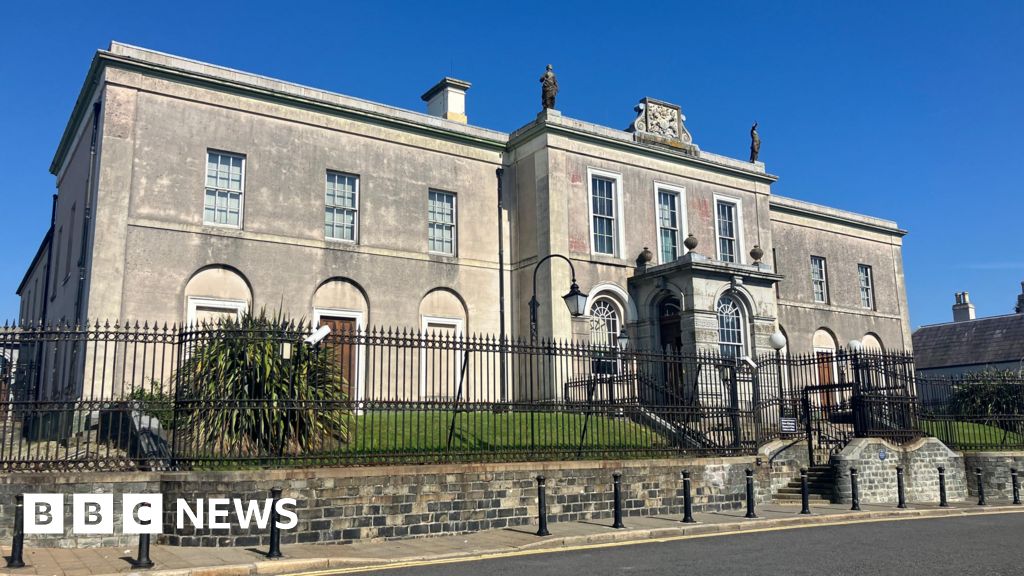 A.P SiteA.P Site, Possible Enclosure · 185 yd
 AP Cropmark- Possible ring ditch/enclosure in BallycarnAP Cropmark- Possible ring ditch/enclosure · 1017 yd
 Giants RingHeritage attraction · 1293 yd
 Ballycairn Presbyterian ChurchChurch · 1602 yd
 Giant's Ring Circular WalkWalking route · 1758 yd
 Drumbo Presbyterian ChurchChurch · 1.1 mi
 Drumbo Round TowerHeritage attraction · 1.1 mi
 MinnowburnVisitor information · 1.3 mi
 Belvoir Oak WoodWood · 1.7 mi
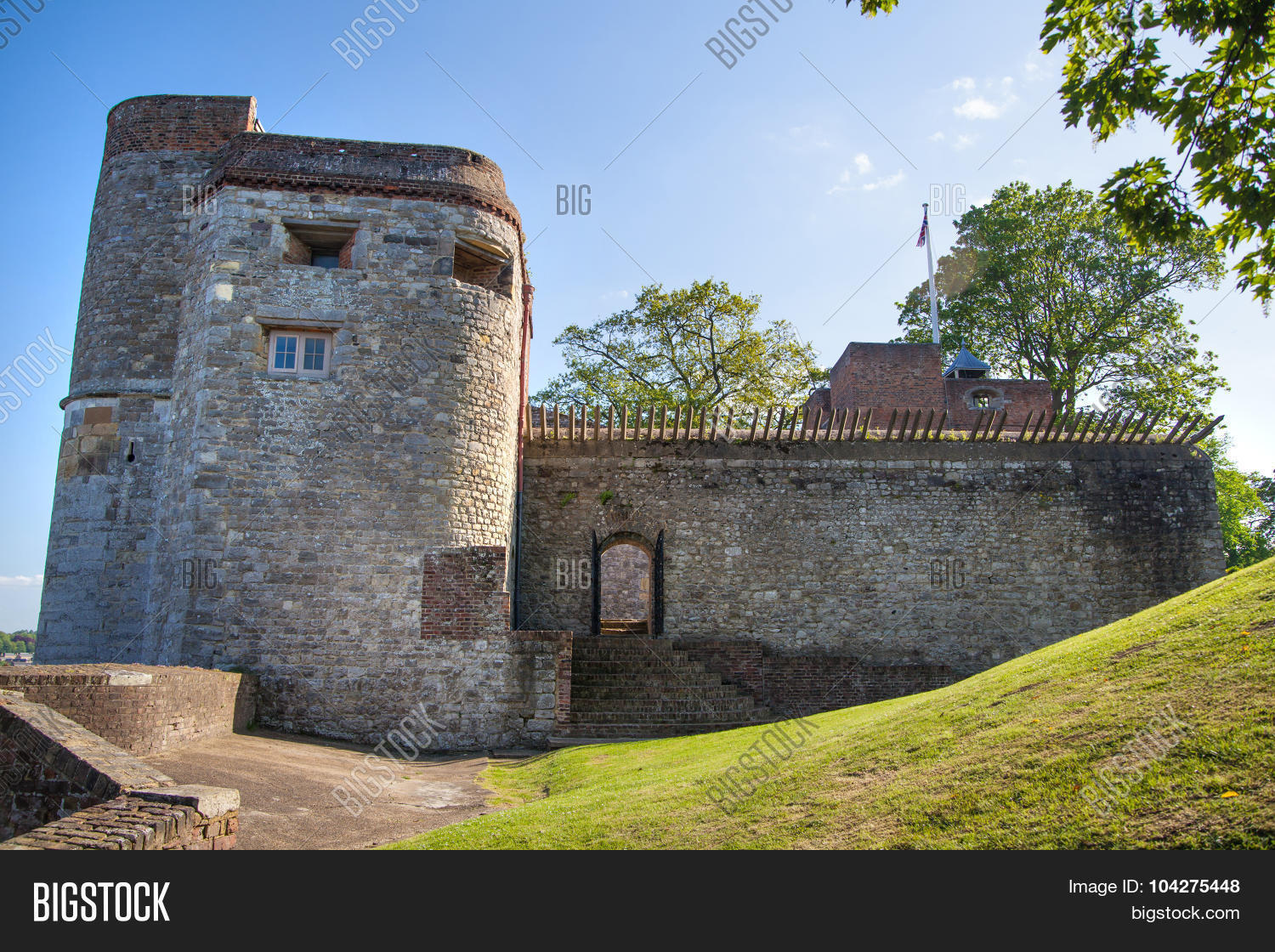 ARTILLERY FORT, FORTIFIED HOUSE & BAWN (site of) in Malone UpperARTILLERY FORT, FORTIFIED HOUSE & BAWN (site of) · 1.7 mi
 Lagan TowpathWalking route · 1.7 mi
 Belvoir Park ForestForest · 1.9 mi
Other information
Photo: Credit not shown in the picture search · Rights wording not checked; contact us if this picture should be removed