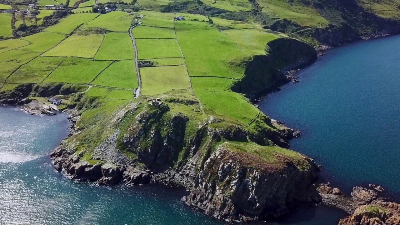
What is recorded here
Under Ballysculty soil, a hidden circle waits for rain to reveal its edge. Whether a barrow or rath, it belongs to an uncertain time when people marked death or ceremony in earth. The field above may have forgotten the shape beneath, yet the land still holds the promise of a boundary drawn long before written memory.
The official Northern Ireland record identifies this as AP Cropmark- Possible barrow or circular enclosure/ rath. Recorded period: UNCERTAIN. The official map point was placed at the centre of the recorded archaeological site from the source map reference.
The monument record does not grant public access. Check the route and ask the landowner before entering private land.
- What survives
- Recorded monument
Places near here
 ENCLOSURE (CHART) in LisnataylorENCLOSURE (CHART) · 477 yd
 TWO ENCLOSURES in LisnataylorTWO ENCLOSURES · 585 yd
_-_geograph.org.uk_-_3844478.jpg?width=1280) Railway BridgeBridge · 2.5 mi
Railway BridgeBridge · 2.5 mi CASTLE?: OLDSTONE HILL (unlocated) in OldstoneCASTLE?: OLDSTONE HILL (unlocated) · 2.7 mi
_-_geograph.org.uk_-_2357120.jpg?width=1280) Muckamore BridgeBridge · 3.3 mi
Muckamore BridgeBridge · 3.3 mi Castle UptonCastle · 3.7 mi
 Rea's WoodWood · 4.3 mi
 Garden Heritage ExhibitionMuseum · 4.9 mi
 2009 Massereene Barracks shootingterrorist attack · 5.2 mi
 Main StreetVisitor information · 5.4 mi
 Antrim BayBay · 5.5 mi
 Slievenacloy Nature ReserveNature reserve · 6.9 mi
Other information
Photo: Credit not shown in the picture search · Rights wording not checked; contact us if this picture should be removed