What is recorded here
The official Northern Ireland record identifies this as AP Cropmark- Possible barrow cemetery. Recorded period: PREHISTORIC. The official map point was placed at the centre of the recorded archaeological site from the source map reference.
Possible Neolithic or Bronze Age barrow cemetery; its significance lies in the potential to provide insights into prehistoric burial practices and settlement patterns in the region.
The monument record does not grant public access. Check the route and ask the landowner before entering private land.
- What survives
- Recorded monument
Places near here
 AP Cropmark- Possible ring ditch/enclosure in BallycarnAP Cropmark- Possible ring ditch/enclosure · 44 yd
 AP CropmarkAP Cropmark, Oval Enclosure · 243 yd
 Drumbo Round TowerHeritage attraction · 1443 yd
 Drumbo Presbyterian ChurchChurch · 1457 yd
 Giants RingHeritage attraction · 1547 yd
 Giant's Ring Circular WalkWalking route · 1.1 mi
_-_geograph.org.uk_-_4225372.jpg?width=1280) Drum Bridge And Canal BridgeBridge · 1.1 mi
Drum Bridge And Canal BridgeBridge · 1.1 mi Lagan TowpathWalking route · 1.2 mi
 MinnowburnVisitor information · 1.4 mi
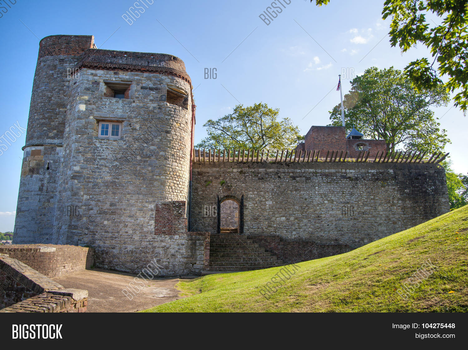 ARTILLERY FORT, FORTIFIED HOUSE & BAWN (site of) in Malone UpperARTILLERY FORT, FORTIFIED HOUSE & BAWN (site of) · 1.7 mi
 PLANTATION HOUSE & BAWN: THE COURT in HillhallPLANTATION HOUSE & BAWN: THE COURT · 1.8 mi
 Belvoir Oak WoodWood · 2.0 mi