What is recorded here
The official Northern Ireland record identifies this as AP Cropmark. Recorded period: UNCERTAIN. The official map point was placed at the centre of the recorded archaeological site from the source map reference.
The monument record does not grant public access. Check the route and ask the landowner before entering private land.
- What survives
- Recorded monument
Places near here
 AP CropmarkAP Cropmark, Possible bridge/crossing point over Blackstaff River · 357 yd
 Clough CastleCastle · 1.1 mi
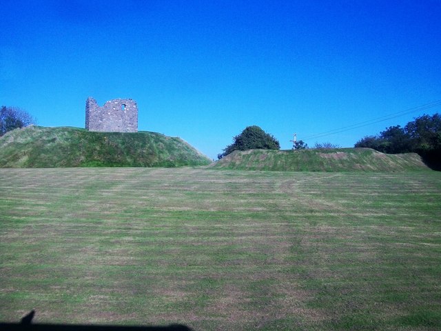 MOTTE & BAILEY AND TOWER-HOUSE: CLOUGH CASTLE in CloughMOTTE & BAILEY AND TOWER-HOUSE: CLOUGH CASTLE · 1.1 mi
 Seaforde Woodland WalkWalking route · 1.1 mi
 Clough Non-Subscribing Presbyterian ChurchChurch · 1.2 mi
 MOTTE in ArdileaMOTTE · 1.5 mi
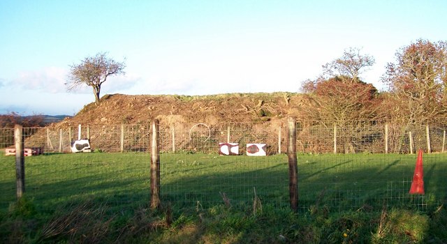 Lismahon MotteArchaeological place · 1.7 mi
 Man-made underground passageCave · 2.3 mi
 Loughinisland ChurchesVisitor information · 2.4 mi
 Hollymount ForestWood · 2.5 mi
 Loughinisland massacremassacre · 2.5 mi
 Castle PathWalking route · 3.0 mi