What is recorded here
In upland terrain indicated as ‘Windgap Hill’ on the 2nd (1901) ed. OS 6-inch map. At the base of a SE-facing slope in an area of scubland with rock out crop, and currently planted with trees, c. 20 years old. The area is immediately W of the former R.C. church of St Nicholas, with its surrounding graveyard which is still in use. A grotto was built in the on the hillside and subsequently the whole area of woodland has become a garden of prayer, including a statue of Christ the King with modern quartz cairns on either side, both surmounted by a cement cross.
The anomalous stone group is N and NW of this statue, at the S end of Windgap Hill. There are four upright stones in a roughly E-W alignment and between 14m and 23m apart. The most westerly stone is 7m from the N-S field boundary and the most easterly is c. 12m NNE of statue of Christ the King.
There is a standing stone pair, both sandstone conglomerate, 9.9m SE of the most westerly upright stone and 14.9m SW of the most easterly upright stone. The stone pair consist of a flat-topped standing stone (H 1.03m; 0.58m x 0,42m) aligned E-W and 0.13m to the S there is a smaller standing stone (H 0.53m; 0.57m x 0.33m) aligned N-S, which is tapering to a point at the top. The smaller stone is leaning to the S.
There are a number of set upright stones, also sandstone conglomerate, 13.3m E of the stone pair and 8.9m S of the most easterly upright stone of the alignment. This consists of a large rectangular upright (H 0.77m; 0.48m x 0.8m) aligned E-W, with a triangular-shaped stone (H 0.77m; 0.7m x 0.22m) at right angles immediately to the E, aligned N-S and two overlapping upright stones (southerly H 0.24m; 0.85m x 0.21m; northerly H 0.72m; 0.7m x 0.27m) immediately to the W of the large rectangular upright, both of which are aligned NW-SE.
Compiled by: Jean Farrelly
The monument record does not grant public access. Check the route and ask the landowner before entering private land.
- What survives
- Recorded monument
Places near here
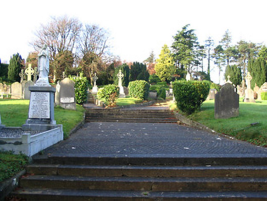 Saint Nicholas's Catholic Churchgraveyard/cemetery · 153 yd
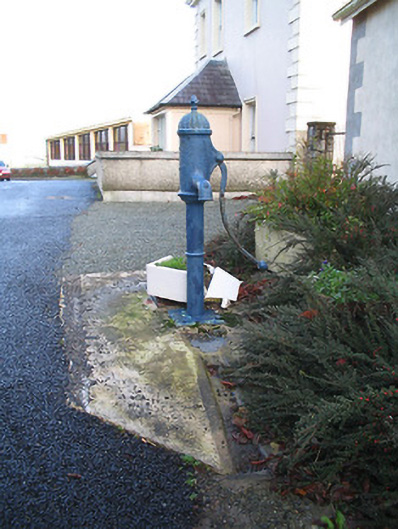 water pumpwater pump · 214 yd
 Enclosure in Oldcastle UpperEnclosure · 548 yd
 Moated site in Rossaneny (reade)Moated site · 936 yd
 Castle (in ruins)Castle, unclassified · 1.1 mi
 CastleCastle, motte · 1.6 mi
 James (Jim) McKennaMemorial · 1.6 mi
 Knockroe Passage TombVisitor information · 2.1 mi
 KillameryVisitor information · 2.1 mi
 Coolaghmore National SchoolMemorial · 2.8 mi
 HawthornHawthorn · 2.9 mi
 Brawder's Family BlacksmithHeritage attraction · 3.2 mi