What is recorded here
In rough grazing. Described in O.S. Name Book (1842) as 'three large blocks of stone, each erected upon three lesser ones '. No visible surface trace.
The above description is derived from the published 'Archaeological Inventory of County Cork. Volume 1: West Cork' (Dublin: Stationery Office, 1992). In certain instances the entries have been revised and updated in the light of recent research.
Date of upload/revision: 14 January 2009
The monument record does not grant public access. Check the route and ask the landowner before entering private land.
- What survives
- Recorded monument
Places near here
 Megalithic structure in KillaneerMegalithic structure · 847 yd
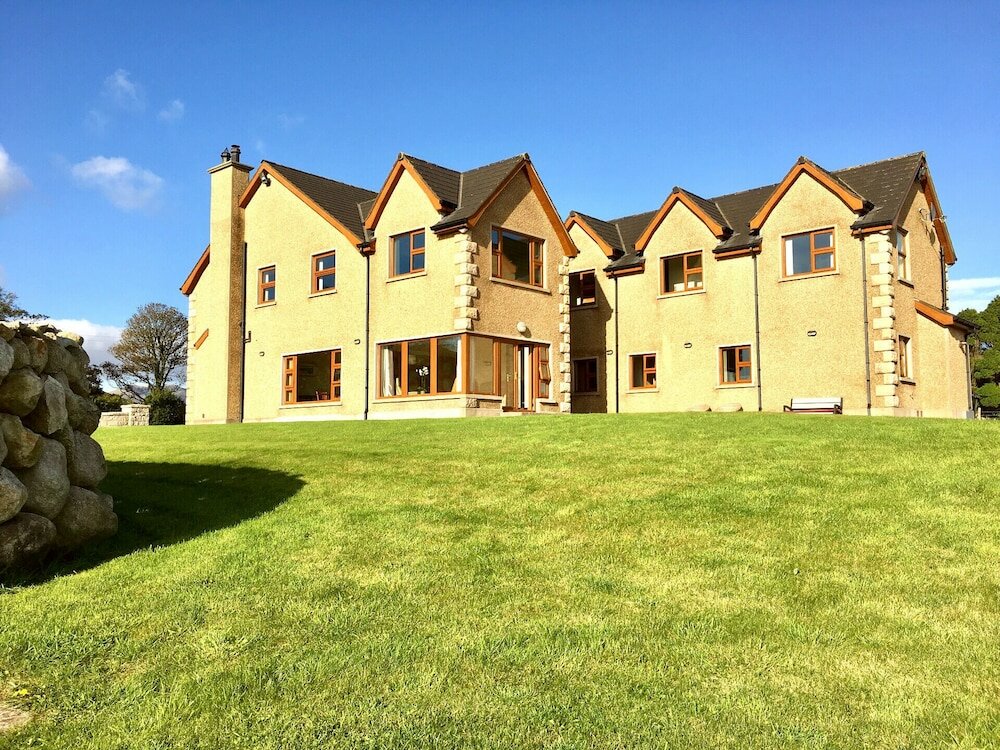 Country house in KillaneerCountry house · 1032 yd
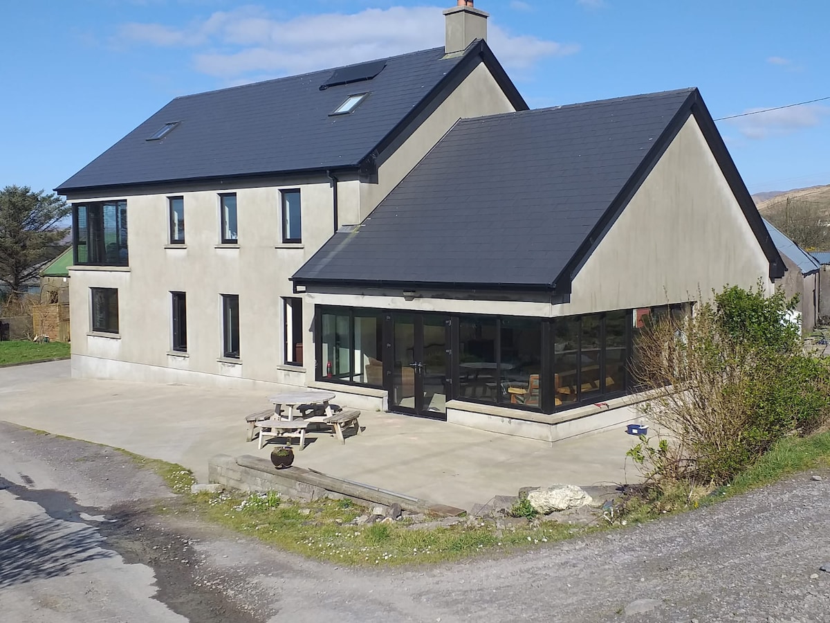 Killaneer HouseRuins · 1034 yd
 Boulder-burial in LissarourkeBoulder-burial · 1.1 mi
 Green HillMountain / peak · 2.0 mi
 Michael Collins MemorialMemorial · 3.5 mi
 Towers (in Ruins)House, fortified house · 3.5 mi
 Tobar MacloonaboySpring · 3.9 mi
 The GlenWood · 4.1 mi
 Castle RockNamed rock · 4.2 mi
 Castle DerryCastle · 4.5 mi
 Mount Pleasant WoodWood · 4.9 mi