What is recorded here
The following description of the monument has been published by Bergh (1995, 233): ‘SW of the cairn [SL014-231----], at a distance of c. 5m from the kerb there are two parallel rows of gneiss boulders, three in each row, placed radially to the cairn. The boulders have a size of c. 0.4m and are set at intervals of 1.5m. The rows are at a distance of 3m from each other and are directed in NE/SW. The outermost pair of stones are set into the bank which is connected to the low platform S of the cairn. The bank curves and ends immediately W of the rows.’ (Bergh 1995, 233; Fig. 31, 235).
Compiled by: Paul Walsh
Date of upload: 19 May 2016
The monument record does not grant public access. Check the route and ask the landowner before entering private land.
- What survives
- Recorded monument
Places near here
 Carns (Duke) CairnArchaeological place · 30 yd
 IndicatedFairy fort / stone ringfort · 763 yd
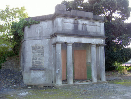 Sligo Cemeterygate lodge · 986 yd
 Tiffin's IslandWood · 1318 yd
 Tobernalt Holy WellSpring · 1351 yd
 Strawberry treeStrawberry tree · 1466 yd
 Bernard's IslandIslet · 1570 yd
 Hazelwood Housecountry house · 1654 yd
 Wolf IslandIslet · 1.1 mi
 Aghamore BayBay · 1.2 mi
 Half Moon BayBay · 1.3 mi
 Sligo Masonic HallMemorial · 1.4 mi