What is recorded here
Two sections of earthwork are defined by two, low, parallel, earthen banks with an intervening fosse: one runs NNE-SSW between the Little Curragh and the Curragh Racecourse (est. traceable L. c. 2000m), the other runs perpendicularly E from the first, crossing the Curragh between the Curragh Racecourse and St. Legers Bottoms (est. traceable length L. 3000m). O'Riordáin (1950, 270-71), having excavated a small section near the junction of the two earthworks and found a fairly broad, deep fosse (Wth c. 2.1m; D c. 1.2m) flanked by insubstantial earthen banks, concluded that it was neither road nor boundary, and suggested that it might have been used for droving livestock across the Curragh. In 1998, limited archaeological excavation (O’Keeffe 1999, 4: Excavation licence no. 98E0059) across the presumed N-S line of the monument at the E edge of the Curragh (located at ITM 674952 712976) in advance of a gas pipeline found no evidence of a pre-modern earthwork.
Compiled by: Gearóid Conroy
Date of upload: 10 June 2011
The monument record does not grant public access. Check the route and ask the landowner before entering private land.
- What survives
- Recorded monument
Places near here
 RatheenanairyArchaeological place · 1515 yd
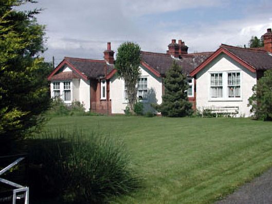 Munster Lodgeofficer's house · 1524 yd
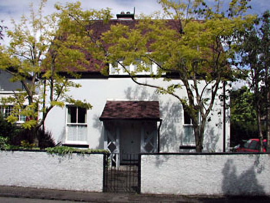 Monsofficer's house · 1570 yd
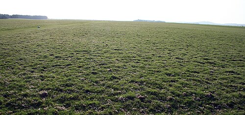 The CurraghEarthwork · 1706 yd
 Castle in ruinsCastle, Anglo-Norman masonry castle · 1.3 mi
 CastleCastle, motte · 1.3 mi
 Saint Fiachra's GardenHeritage attraction · 1.4 mi
 Bee-bee treeBee-bee tree · 1.4 mi
 Irish National Stud and Japanese GardensHeritage attraction · 1.5 mi
 Dawn RedwoodDawn Redwood · 1.5 mi
 Bithia Mary CrokerMemorial · 6.4 mi
 Grand Canal WayVisitor information · 7.9 mi