What is recorded here
Situated on the ridge of a NW-SE drumlin. It is depicted as a dotted line (L c. 145m) running parallel with and c. 5m SW of a NW-SE field boundary only on the 1907 edition of the OS 6-inch map where it is described in gothic lettering as the site of an ‘Ancient Entrenchment’. Davies (1955, 33) noted that no archaeological feature survived here. It may be part of the Black Pig’s Dyke, and the Drumgristin section (MO025-046----) is c. 700m to the ESE.
Revised by: Michael Moore
Date of revised upload: 27 February 2018
The monument record does not grant public access. Check the route and ask the landowner before entering private land.
- What survives
- Recorded monument
Places near here
 EnclosureEnclosure, large enclosure · 334 yd
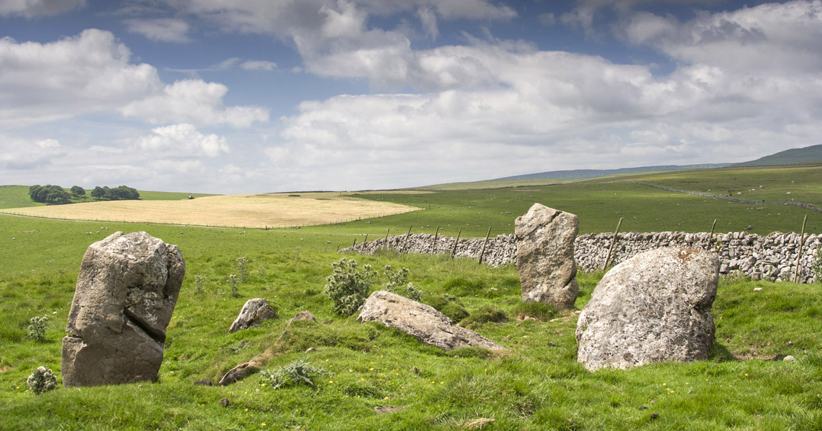 Druids Altar (Site of)Megalithic tomb · 352 yd
 Ballynacarry Bridgebridge · 1228 yd
 Coolskeagh Bridgebridge · 1479 yd
 KnockreaghMountain / peak · 1715 yd
 Whites IslandIslet · 1.7 mi
 Crane IslandIsland · 2.5 mi
 Fincarn HillMountain / peak · 2.7 mi
 The Black Castle Chambered GraveArchaeological place · 2.9 mi
 Lough MucknoLake and park landscape · 3.2 mi
 Battle of Newry Roadbattle · 3.5 mi
 Blaney CastleCastle · 3.6 mi