
What is recorded here
An Tóin Dubh is recorded as a headland in County Galway. Its open map record supplies this location and any linked names or public references.
An Tóin Dubh is a headland composed primarily of Carboniferous limestone, formed around 340 to 320 million years ago through the accumulation of marine sediments. It is notable for its coastal erosion features and its role in the geological diversity of the western Irish seaboard.
Places near here
 Holy well in Leitir MealláinHoly well · 119 yd
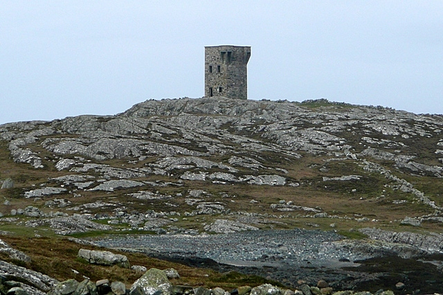 TowerSignal tower · 992 yd
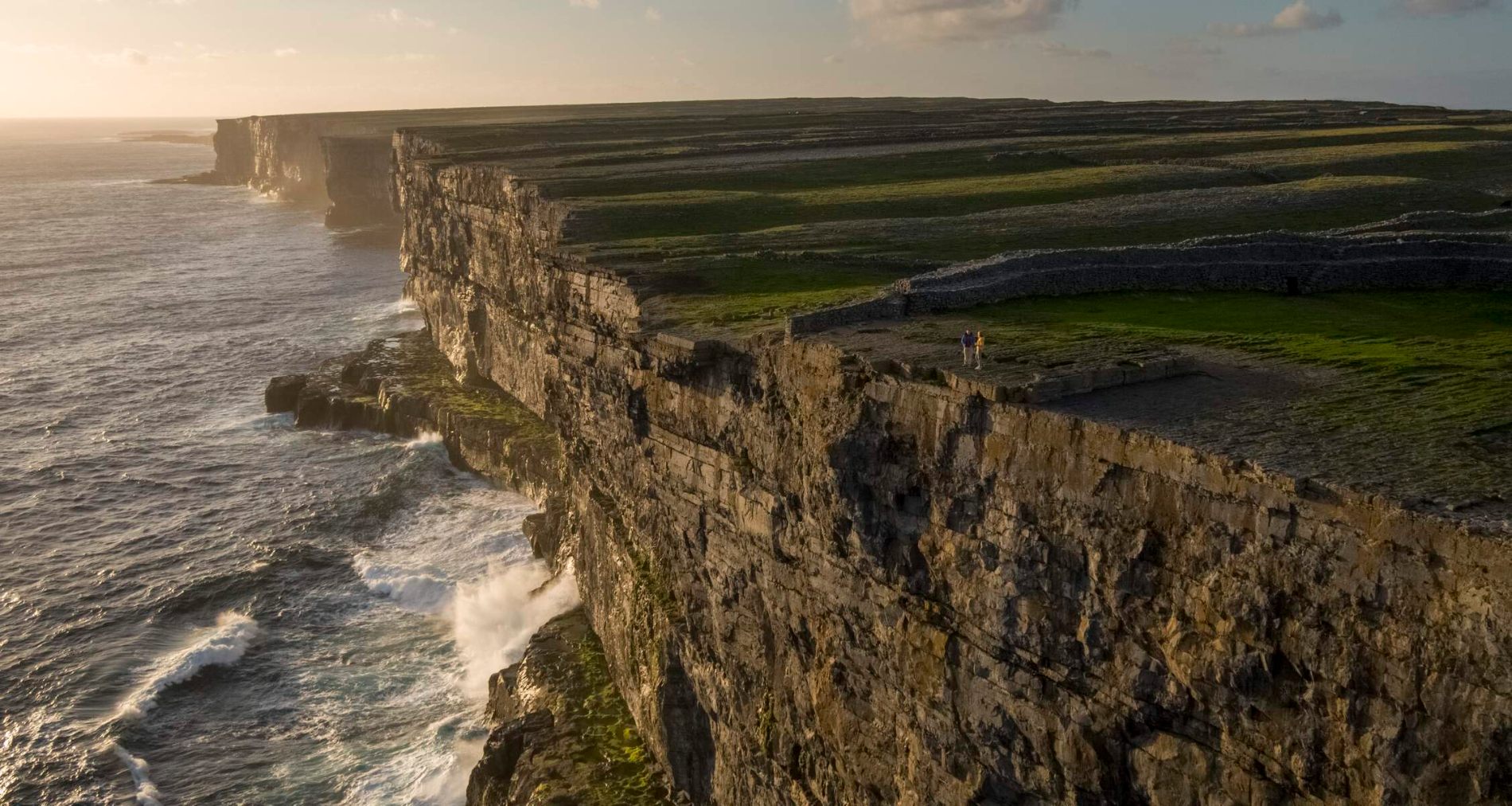 Fraochoileán MórIslet · 1480 yd
 Leitir MealláinIsland · 1.0 mi
 Ionad Oidhreachta Leitir MealláinMuseum · 1.4 mi
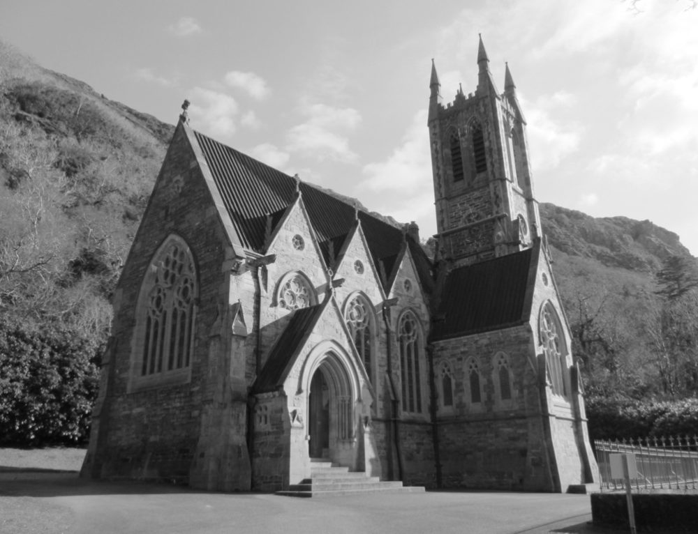 R. C. Chapel (in ruins)Chapel · 1.4 mi
 Séipéal Réalt na Mara [Catholic Church of the Star of the Sea]church/chapel · 1.5 mi
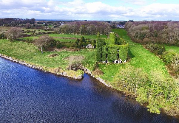 Castle (in ruins)Castle, unclassified · 1.7 mi
 Cnoc FionnMountain / peak · 2.5 mi
 CastleCastle, unclassified · 4.3 mi
 Gob na Trá BáineHeadland · 4.5 mi
 Cora na hAirde MóireHeadland · 4.5 mi
Other information
Photo: Credit not shown in the picture search · Rights wording not checked; contact us if this picture should be removed