What is recorded here
Annotated ‘Alms House’ to the south of St Patrick’s Cathedral (DU018-020269-) on a map drawn in 1890 by the Cathedral Architect, Thomas Drew (Drew 1891). This map was based on an earlier map drawn in 1750, known as Kendrick’s map. This small building plot measured 17 feet [6m] east-west by 20 feet [6m] from north to south. Probably levelled when the present St Patrick's Close road was constructed to the S of St Patrick's Cathedral.
Compiled by: Caimin O'Brien
The monument record does not grant public access. Check the route and ask the landowner before entering private land.
- What survives
- Recorded monument
Places near here
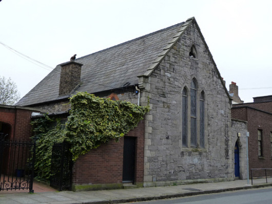 Saint Patrick's Cathedral Choir Schoolschool · 26 yd
 Font in Unknown TownlandFont · 32 yd
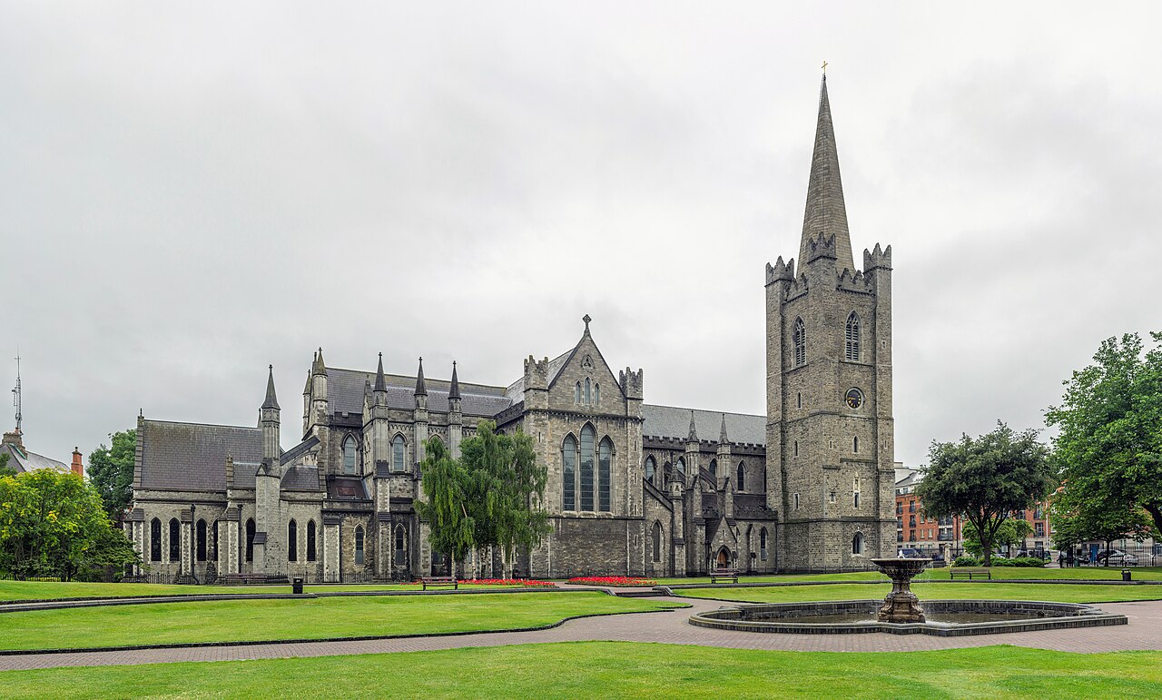 Saint Patrick's CathedralHeritage attraction · 56 yd
 Cathed., St. PatricksCathedral · 59 yd
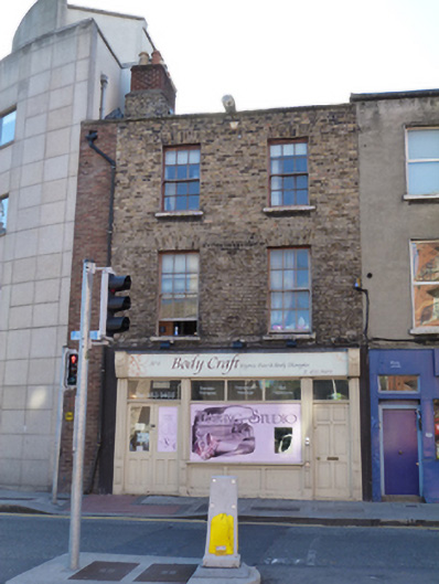 Body Craft Spahouse · 76 yd
 Site of Saint Patrick's wellMemorial · 90 yd
 Litterary paradeMemorial · 170 yd
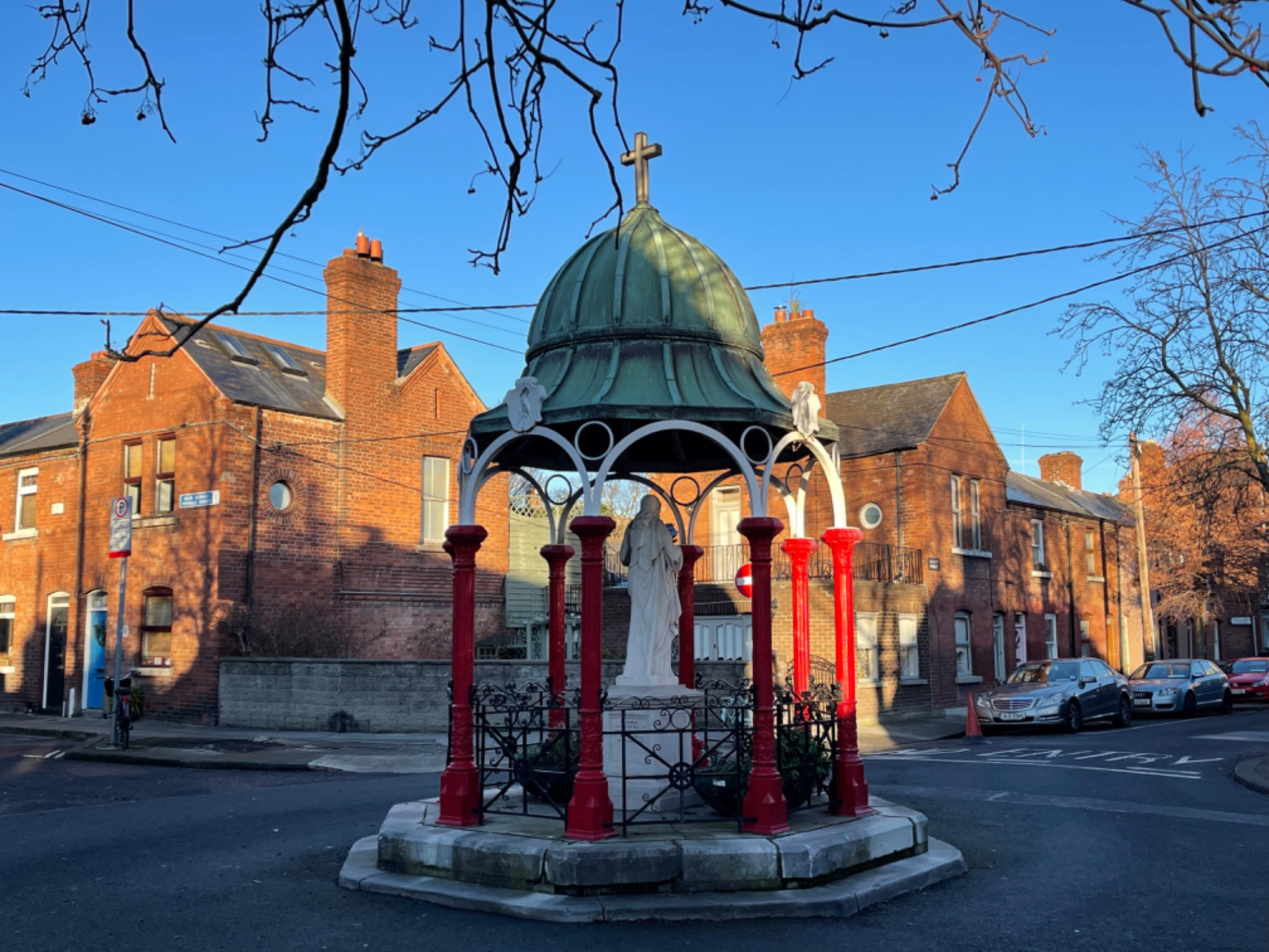 Pallas StudiosGallery · 182 yd
 Medieval DublinVisitor information · 524 yd
 Battle of DublinMajor battlefield · 609 yd
 European PearEuropean Pear · 1024 yd
 Bigleaf MapleBigleaf Maple · 1264 yd