
What is recorded here
Scotland's National Record of the Historic Environment records Aberdeen, Schoolhill, the Academy as Hospital (first World War), School (20th Century) (1901). The official map says its point is accurate as follows: NGR given to the nearest 1m. The record does not by itself mean that the public may enter the place.
The historic-place record does not grant public access. Check current conditions and ownership before entering land or a building.
Places near here
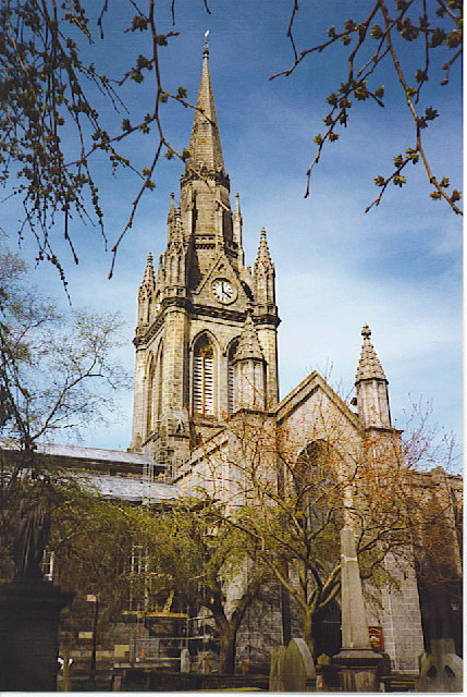 St Nicholas Church, AberdeenChurch, cross or graveyard · 16 yd
 Aberdeen, Little Belmont Street, the Town SchoolPublic House (20th Century), School (19th Century) (1841) · 49 yd
 Aberdeen, Union Street, Kirk of St Nicholas, ChurchyardBurial Ground (16th Century), Churchyard (16th Century) · 94 yd
_Church_-_geograph.org.uk_-_4294205.jpg?width=1280) Aberdeen, Union Street, East Church of St NicholasBurial(s) (medieval), Cemetery (medieval), Church (medieval) · 116 yd
Aberdeen, Union Street, East Church of St NicholasBurial(s) (medieval), Cemetery (medieval), Church (medieval) · 116 yd Aberdeen Art GalleryMuseum · 136 yd
 Aberdeen City War MemorialMemorial · 139 yd
 Correction WyndMemorial · 147 yd
 Coat of ArmsHeritage attraction · 221 yd
 Aberdeen, St Paul StreetNo Class (event) (period Unassigned) · 258 yd
 Mitchell TowerCastle, fort or tower · 323 yd
 Aberdeen, Littlejohn StreetNo Class (event) (period Unassigned) · 331 yd
 Union Square Customer Service DeskVisitor information · 483 yd
Other information
Photo: Bill Harrison · CC BY-SA 2.0