What is recorded here
Scotland's National Record of the Historic Environment records Aberdeen, Poynernook Road, Transport Depot as Depot (modern). The official map says its point is accurate as follows: NGR given to the nearest 10m. The record does not by itself mean that the public may enter the place.
The historic-place record does not grant public access. Check current conditions and ownership before entering land or a building.
Places near here
 Aberdeen, Old Ford Road, Lanes to Russell Road, Fish WorksFish Curing Plant (20th Century) · 77 yd
 Aberdeen, North Esplanade West, Centurion CourtFood Processing Plant (20th Century) · 111 yd
 Aberdeen, Palmerston Place, Railway BridgeRailway Bridge (19th Century) · 197 yd
 Aberdeen, Millburn Street, Corporation Electricity WorksPower Station (20th Century) · 284 yd
 Lewis Grassic GibbonMemorial · 482 yd
 Union Square Customer Service DeskVisitor information · 502 yd
 Battle of Aberdeenbattle · 728 yd
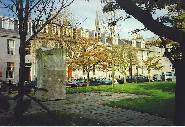 Archibald Simpson Memorial, Bon Accord SquareHeritage place · 757 yd
 Aberdeen Maritime MuseumMuseum · 807 yd
 Theatre LaneVisitor information · 829 yd
 Provost Skene's HouseMuseum · 1022 yd
 Aberdeen CastleCastle (medieval), Motte (medieval)(possible) · 1087 yd