What is recorded here
Scotland's National Record of the Historic Environment records Aberdeen, Palmerston Road, the Arches as Railway Viaduct (19th Century). The official map says its point is accurate as follows: NGR given to the nearest 1m. The record does not by itself mean that the public may enter the place.
The historic-place record does not grant public access. Check current conditions and ownership before entering land or a building.
Places near here
 Aberdeen, Palmerston Place, Railway BridgeRailway Bridge (19th Century) · 15 yd
 Aberdeen, Old Ford Road, Lanes to Russell Road, Fish WorksFish Curing Plant (20th Century) · 116 yd
 Aberdeen, Millburn Street, Corporation Electricity WorksPower Station (20th Century) · 184 yd
 Aberdeen, North Esplanade West, Centurion CourtFood Processing Plant (20th Century) · 245 yd
 Lewis Grassic GibbonMemorial · 552 yd
 Union Square Customer Service DeskVisitor information · 635 yd
 Battle of Aberdeenbattle · 681 yd
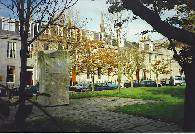 Archibald Simpson Memorial, Bon Accord SquareHeritage place · 771 yd
 Aberdeen Maritime MuseumMuseum · 970 yd
 Theatre LaneVisitor information · 1005 yd
 Provost Skene's HouseMuseum · 1168 yd
 Aberdeen CastleCastle (medieval), Motte (medieval)(possible) · 1263 yd