What is recorded here
Scotland's National Record of the Historic Environment records Aberdeen, Old Aberdeen, Boundary Stone as Boundary Stone (19th Century). The official map says its point is accurate as follows: NGR given to the nearest 10m. The record does not by itself mean that the public may enter the place.
The historic-place record does not grant public access. Check current conditions and ownership before entering land or a building.
Places near here
 Aberdeen, Aberdeen University Campus, Sir Duncan Rice LibraryLibrary (21st Century) · 81 yd
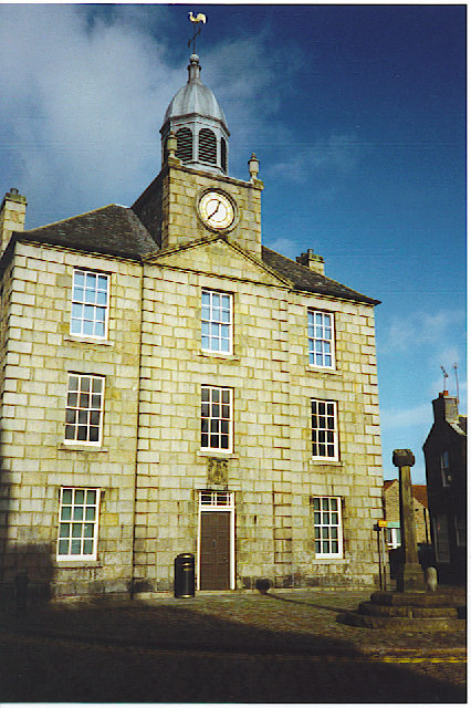 Old Aberdeen, the Town House and Mercat CrossChurch, cross or graveyard · 107 yd
 Rose GardenHeritage attraction · 159 yd
 Aberdeen, St Machar DriveCarved Stone(s) (period Unassigned) · 172 yd
 Sunken GardenHeritage attraction · 213 yd
 Aberdeen, Old Aberdeen, Market CrossMarket Cross (16th Century) · 213 yd
.jpg?width=1280) Aberdeen, Old Aberdeen, 81 High StreetNo Class (event) (period Unassigned) · 217 yd
Aberdeen, Old Aberdeen, 81 High StreetNo Class (event) (period Unassigned) · 217 yd William MacGillivrayMemorial · 232 yd
 MacRobert Memorial GardenMemorial · 270 yd
 St Machar ParkVisitor information · 304 yd
 The ChanonryNo Class (event) (21st Century) · 362 yd
 Aberdeen, High Street, Kings College, Cromwell TowerTower House (medieval) · 393 yd