What is recorded here
Scotland's National Record of the Historic Environment records Aberdeen, Crabe Stone as Battle Site (16th Century), Battle Site (17th Century), Boundary Stone (medieval). The official map says its point is accurate as follows: NGR given to the nearest 1m. The record does not by itself mean that the public may enter the place.
The historic-place record does not grant public access. Check current conditions and ownership before entering land or a building.
Places near here
 Aberdeen, Bon Accord Square, GeneralGeneral View (period Unassigned) · 95 yd
 Aberdeen, Bon Accord Crescent Gardens, Brick TerraceTerraced Garden (19th Century) · 146 yd
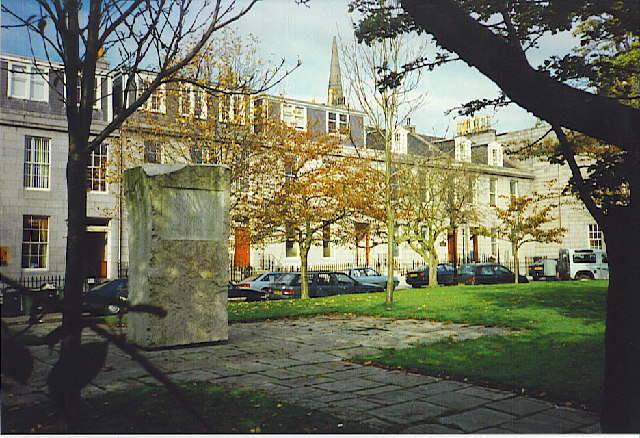 Archibald Simpson Memorial, Bon Accord SquareHeritage place · 156 yd
 Aberdeen, Justice Mill Lane, Bon Accord BathsBaths (20th Century), Swimming Pool (20th Century) · 219 yd
 Battle of Aberdeenbattle · 250 yd
 William Robertson SmithMemorial · 292 yd
 Aberdeen, Huntly Street, St Mary's Roman Catholic Cathedral, ConventChurch Hall (20th Century), Nunnery (19th Century) - (20th Century) · 300 yd
 Coat of ArmsHeritage attraction · 620 yd
 His Majesty's TheatreHeritage attraction · 664 yd
 Union Square Customer Service DeskVisitor information · 673 yd
 Mitchell TowerCastle, fort or tower · 1047 yd
 Aberdeen, Littlejohn StreetNo Class (event) (period Unassigned) · 1057 yd