What is recorded here
The official Northern Ireland record identifies this as A.P. SITE: POSSIBLE RING DITCH/BARROW. Recorded period: BRONZE AGE. The official map point was placed at the centre of the recorded archaeological site from the source map reference.
Bronze Age ring ditch or barrow; its exact type remains undetermined due to limited documentation. It represents a funerary or ritual site from a period of significant burial practice evolution in the region.
The monument record does not grant public access. Check the route and ask the landowner before entering private land.
- What survives
- Recorded monument
Places near here
 Boathouse Visitor Centre & MuseumMuseum · 272 yd
 Boat HouseBoat House · 274 yd
 Kelp HouseRuins · 614 yd
 A.P. SITE: ENCLOSURE in CraigmacaganA.P. SITE: ENCLOSURE · 743 yd
 Drystone enclosure: possible boat shelter in BallynoeDrystone enclosure: possible boat shelter · 1104 yd
 Brackens CaveCave · 1109 yd
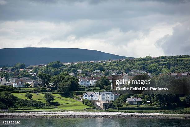 CarrickagileHeadland · 1224 yd
 Ballycarry Trail, RathlinWalking route · 1299 yd
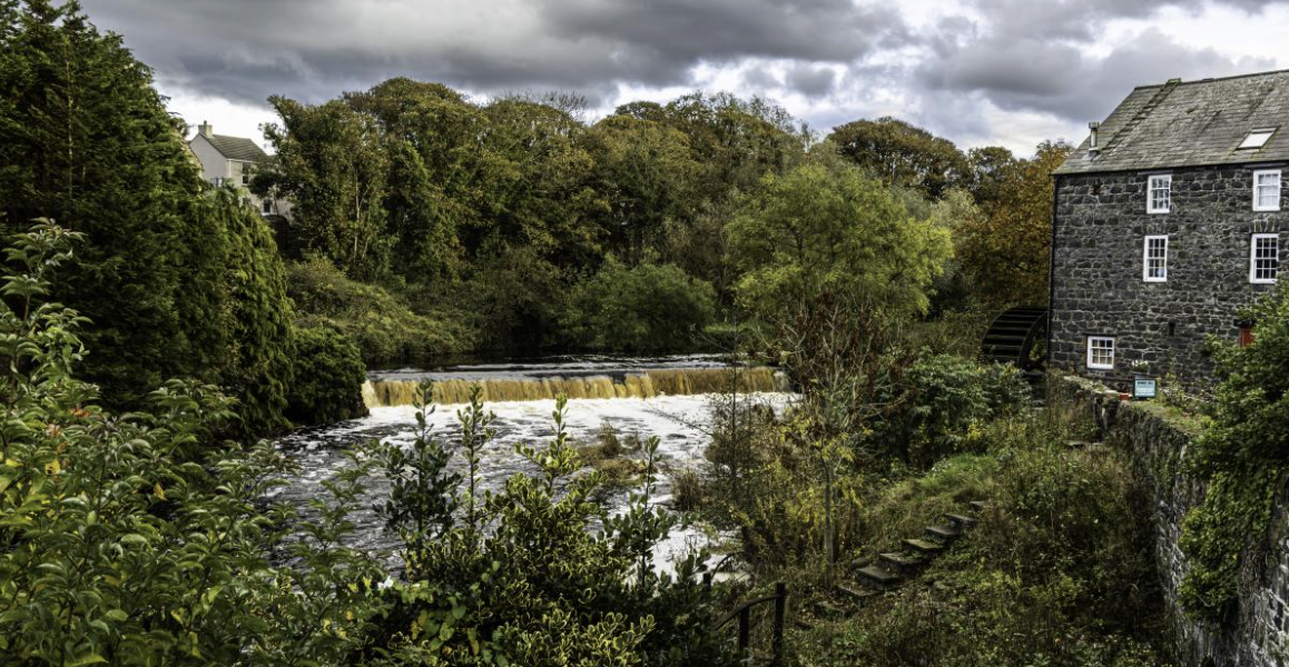 RuenascarriveHeadland · 1561 yd
 Rathlin CastleRuins · 1571 yd
 FORTIFICATION: BRUCE'S CASTLE in BallycarryFORTIFICATION: BRUCE'S CASTLE · 1586 yd
 Rathlin IslandIsland · 1.5 mi