What is recorded here
The official Northern Ireland record identifies this as A.P. SITE - large square cropmark. Recorded period: UNCERTAIN. The official map point was placed at the centre of the recorded archaeological site from the source map reference.
The monument record does not grant public access. Check the route and ask the landowner before entering private land.
- What survives
- Recorded monument
Places near here
 ENCLOSURE in Grange OF MalluskENCLOSURE · 494 yd
 FORTIFIED HOUSE & EARTHWORK DEFENCES (unlocated) in Grange OF MalluskFORTIFIED HOUSE & EARTHWORK DEFENCES (unlocated) · 859 yd
 CHURCH? in BallywonardCHURCH? · 1250 yd
 CASTLE (unlocated) in BallyvastonCASTLE (unlocated) · 1458 yd
 Possible enclosure and boundary in CraigaroganPossible enclosure and boundary · 1500 yd
 Sentry Hill Historic HouseMuseum · 1671 yd
 Bellevue Area of Special Scientific InterestCliff · 2.1 mi
 Carnmoney HillMountain / peak · 2.3 mi
 Squires HillMountain / peak · 2.3 mi
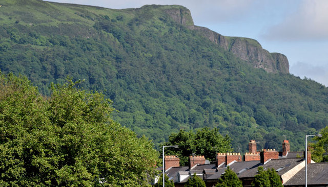 Cave HillCliff · 2.4 mi
 Cave Hill CaveCave · 2.5 mi
 Cave Hill TrailWalking route · 2.5 mi