What is recorded here
A ABD CR is shown as a archaeological place on the public map of Aberdeen City. The saved point is the map point or the centre of its mapped shape.
This does not grant access. Check current paths, opening conditions and ownership before entering.
Places near here
 Aberdeen, Old Ford Road, Lanes to Russell Road, Fish WorksFish Curing Plant (20th Century) · 118 yd
 Aberdeen, North Esplanade West, Centurion CourtFood Processing Plant (20th Century) · 153 yd
 Aberdeen, Palmerston Place, Railway BridgeRailway Bridge (19th Century) · 173 yd
 Aberdeen, Queen Elizabeth BridgeRoad Bridge (period Unassigned) · 277 yd
 Lewis Grassic GibbonMemorial · 651 yd
 Union Square Customer Service DeskVisitor information · 682 yd
 Battle of Aberdeenbattle · 836 yd
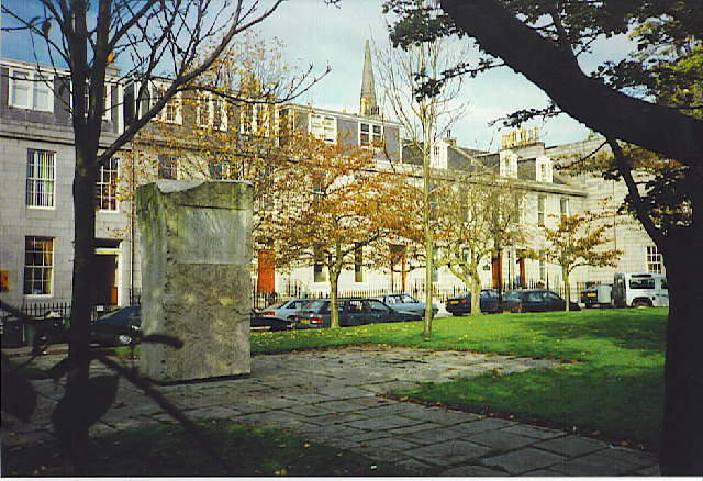 Archibald Simpson Memorial, Bon Accord SquareHeritage place · 903 yd
 Aberdeen Maritime MuseumMuseum · 973 yd
 Theatre LaneVisitor information · 975 yd
 Provost Skene's HouseMuseum · 1196 yd
 Aberdeen CastleCastle (medieval), Motte (medieval)(possible) · 1233 yd